Weather
Snow Predicted For Hudson Valley Before Christmas: NWS
Here is the latest timeline and how much to expect.

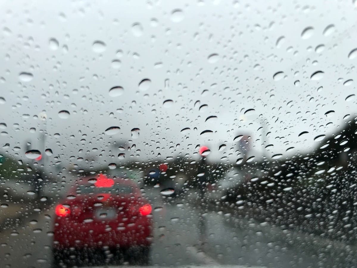
HUDSON VALLEY, NY — Snow is expected to fall in the region on Tuesday, potentially impacting pre-holiday travel.
The National Weather Service based in Albany reports a clipper system will bring widespread light to moderate snow Tuesday.
“Snow could transition to a wintry mix of sleet and/or freezing rain in the afternoon,” the National Weather Service said.
Find out what's happening in Mid Hudson Valleyfor free with the latest updates from Patch.
The precipitation is expected to stop Tuesday evening, though there could be additional show showers Tuesday night.

The Hudson Valley region will get between one and three inches of snowfall, according to the National Weather Service. Areas closer to New York City will be on the lower end of this range, while northern and higher elevations could get as much as three inches.
Find out what's happening in Mid Hudson Valleyfor free with the latest updates from Patch.
If you are traveling, expect more snow, between four and six inches, in parts of the western Adirondacks and southern Green Mountains, according to the National Weather Service.

The National Weather Service based in New York City is forecasting a “little snow” late tonight and into Tuesday.
“The highest amounts are expected across the interior, where the changeover to rain will be delayed the most,” the New York City office reports.
After Tuesday, the forecast calls for dry weather on both Wednesday and Christmas Day, with high temperatures both days reaching around 40 degrees.
Here are the forecast details for the Mid-Hudson Valley area via the National Weather Service:
This Afternoon: Increasing clouds, with a high near 36. Southwest wind around 5 mph.
Tonight: A chance of snow, mainly after 4 a.m. Mostly cloudy, with a low around 28. Calm wind. Chance of precipitation is 30%. New snow accumulation of less than a half inch possible.
Tuesday: Snow before 10 a.m, then snow, possibly mixed with rain. High near 39. South wind 3 to 6 mph. Chance of precipitation is 90%. New snow accumulation of less than one inch possible.
Tuesday Night: A chance of rain and snow showers before 7 p.m. Mostly cloudy, with a low around 33. Calm wind becoming west 5 to 7 mph after midnight. Chance of precipitation is 30%. Little or no snow accumulation expected.
Wednesday: Mostly sunny, with a high near 41. Northwest wind 5 to 10 mph, with gusts as high as 21 mph.
Wednesday Night: Mostly cloudy, with a low around 23.
Christmas Day: Mostly cloudy, with a high near 40.
Thursday Night: A chance of rain after 1 a.m. Mostly cloudy, with a low around 30. Chance of precipitation is 30%.
Friday: Rain and snow likely before 1 p.m., then rain. High near 39. Chance of precipitation is 80%.
Here are the forecast details for the lower Hudson Valley area via the National Weather Service:
This Afternoon: Mostly sunny, with a high near 37. West wind 6 to 8 mph.
Tonight: Snow likely, mainly after 4 a.m. Increasing clouds, with a low around 30. West wind around 6 mph. Chance of precipitation is 60%. New snow accumulation of less than a half inch possible.
Tuesday: Rain and snow before 4 p.m., then a chance of rain. High near 38. South wind 5 to 7 mph. Chance of precipitation is 80%. New snow accumulation of less than a half inch possible.
Tuesday Night: Mostly cloudy, with a steady temperature around 36. West wind 5 to 10 mph, with gusts as high as 20 mph.
Wednesday: Sunny, with a high near 42. Northwest wind 7 to 13 mph, with gusts as high as 23 mph.
Wednesday Night: Increasing clouds, with a low around 26.
Christmas Day: Mostly cloudy, with a high near 41.
Thursday Night: A 30 percent chance of rain after 1 a.m. Cloudy, with a low around 33.
Friday: Rain. High near 49. Chance of precipitation is 80%.
Get more local news delivered straight to your inbox. Sign up for free Patch newsletters and alerts.