Weather
Winter Weather Advisory Issued For Mid Hudson Valley
Find out the latest timeline for upcoming mixed precipitation, according to meteorologists.

HUDSON VALLEY, NY — The mid-Hudson Valley region is expected to get wintry weather starting this afternoon.
The National Weather Service has issued a winter weather advisory which includes Ulster and Dutchess counties for 4 p.m. today through 4 a.m. Wednesday.
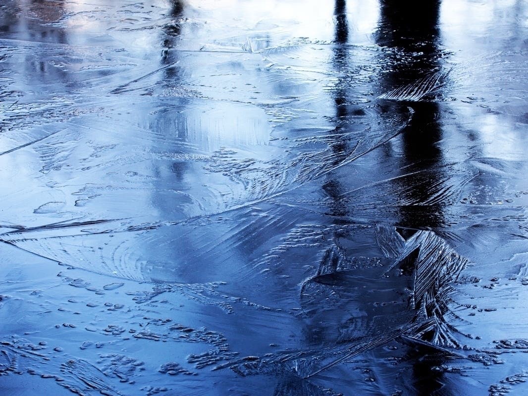
Mixed precipitation is expected, with total snow accumulation of up to one inch, and ice accumulation of up to one tenth of an inch, according to the National Weather Service.
Find out what's happening in Mid Hudson Valleyfor free with the latest updates from Patch.
Light freezing rain will develop later this afternoon before changing over to plain rain tonight, the advisory states.
The National Weather Service reports the freezing rain will transition to plain rain from south to north tonight as temperatures gradually rise.
Find out what's happening in Mid Hudson Valleyfor free with the latest updates from Patch.

The wintry precipitation is expected to cause slippery road conditions and impact the evening commute. Motorists are urged to slow down and use caution. Icy surfaces could increase the risk of falling for pedestrians.
The freezing precipitation will be in the inland and northern areas of the Hudson Valley, while southern areas can expect rain, according to the National Weather Service.
Skies will gradually clear on Wednesday, and temperatures will climb to the mid-40s. The rest of the work week will feature warm temperatures for this time of year, with daytime highs reaching the mid to upper 40s.
Here are the forecast details for the Mid-Hudson Valley area via the National Weather Service:
This Afternoon: A chance of rain, mainly after 5 p.m. Cloudy, with a high near 37. Calm wind. Chance of precipitation is 30%. New precipitation amounts of less than a tenth of an inch possible.
Tonight: Rain likely, possibly mixed with freezing rain, becoming all rain after 10 p.m. Cloudy, with a low around 33. Calm wind. Chance of precipitation is 70%. Little or no ice accumulation expected.
Wednesday: A chance of rain, mainly before 8 a.m. Cloudy, then gradually becoming mostly sunny, with a high near 44. Calm wind becoming west around 6 mph in the afternoon. Chance of precipitation is 30%. New precipitation amounts of less than a tenth of an inch possible.
Wednesday Night: Partly cloudy, with a low around 27. Calm wind.
Thursday: Mostly sunny, with a high near 44. Calm wind.
Thursday Night: Mostly cloudy, with a low around 29.
Friday: Rain likely. Mostly cloudy, with a high near 46. Chance of precipitation is 70%.
Here are the forecast details for the lower Hudson Valley area via the National Weather Service:
This Afternoon: Cloudy, with a high near 38. East wind around 5 mph.
Tonight: A 50 percent chance of rain, mainly before 4 a.m. Patchy fog after 10 p.m. Otherwise, cloudy, with a low around 34. East wind around 5 mph becoming calm in the evening.
Wednesday: Cloudy through mid morning, then gradual clearing, with a high near 45. West wind 6 to 11 mph, with gusts as high as 24 mph.
Wednesday Night: Mostly clear, with a low around 31. West wind 6 to 8 mph.
Thursday: Mostly sunny, with a high near 45. West wind around 5 mph becoming calm in the afternoon.
Thursday Night: Increasing clouds, with a low around 33.
Friday: Rain likely, mainly after 1 p.m. Cloudy, with a high near 49. Chance of precipitation is 70%.
Get more local news delivered straight to your inbox. Sign up for free Patch newsletters and alerts.