Weather
Polar Vortex Brings Extreme Cold To Eastern PA
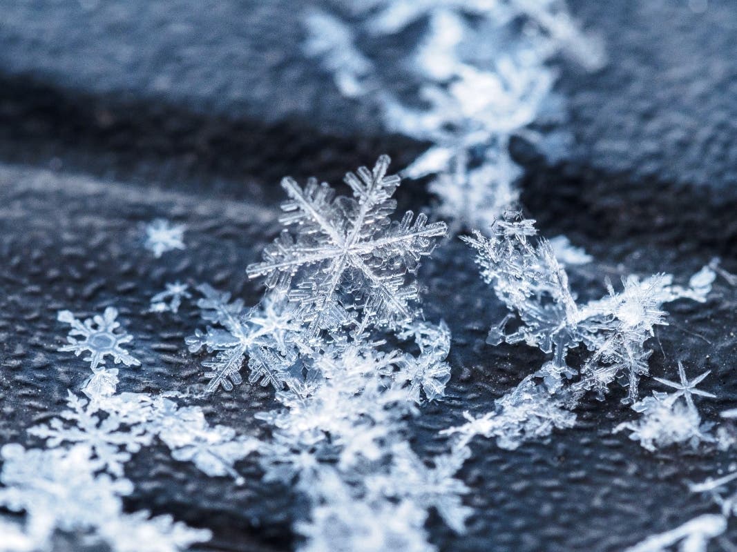
Wind chills could make it feel as low as 10 below zero across the Philadelphia region.

EASTERN PENNSYLVANIA — A cold weather advisory is in place across the region through Wednesday at noon, with high temperatures in the teens and low temperatures hitting the single digits. Wind chills could make it feel as low as 10 below zero.
"The cold wind chills as low as 10 below zero could result in hypothermia if precautions are not taken. Frostbite and hypothermia will occur if unprotected skin is exposed to these temperatures," the National Weather Service warned.
Forecasters recommend that residents use caution while traveling outside. "Wear appropriate clothing, a hat, and gloves," the NWS recommended. Pets should be kept indoors as much as possible.
Find out what's happening in Across Pennsylvaniafor free with the latest updates from Patch.
AccuWeather predits the latest plunge of arctic air could challenge records.
"This cold snap is coming at the climatological peak of winter when historical average temperatures hit their lowest values in many parts of the country. Since this is the heart of winter, record-low temperatures are near their lowest values as well. This may prevent widespread record-setting temperatures, but some record-low temperatures will likely be broken," AccuWeather Senior Meteorologist Adam Douty said.
Find out what's happening in Across Pennsylvaniafor free with the latest updates from Patch.
AccuWeather noted the last time Philadelphia observed a high temperature in the teens was in late December 2022. Temperatures are expected to increase as the week goes on, with a high temperature in the low 40s predicted by Sunday.
The polar vortex is causing extreme cold across the country, as far south as Florida.
Snow and ice is in the forecast along the U.S. Gulf coast, from Texas into northern Florida, Tuesday into Wednesday, forecasters said. A cold weather advisory is in effect for Tampa Bay, with wind chills as low as 25 degrees that could cause frostbite and hypothermia.
Here's the local forecast:
Today: Cloudy, with a high near 19. Wind chill values as low as zero. West wind 5 to 10 mph.
Tonight: Cloudy during the early evening, then gradual clearing, with a low around 6. West wind around 5 mph becoming calm.
Wednesday: Sunny, with a high near 19. Wind chill values as low as -4. Northwest wind 5 to 10 mph.
Wednesday night: Mostly cloudy, with a low around 7. Calm wind becoming southwest around 5 mph.
Thursday: Mostly sunny, with a high near 27. Calm wind becoming southwest around 5 mph in the afternoon.
Thursday night: Mostly clear, with a low around 12.
Friday: Sunny, with a high near 31.
Friday night: Mostly clear, with a low around 10.
Saturday: Sunny, with a high near 31.
Saturday night: Mostly cloudy, with a low around 21.
Sunday: Mostly cloudy, with a high near 40.
Get more local news delivered straight to your inbox. Sign up for free Patch newsletters and alerts.