Weather
Ice, Snow Squalls, Bitter Cold Expected For Chicago Area
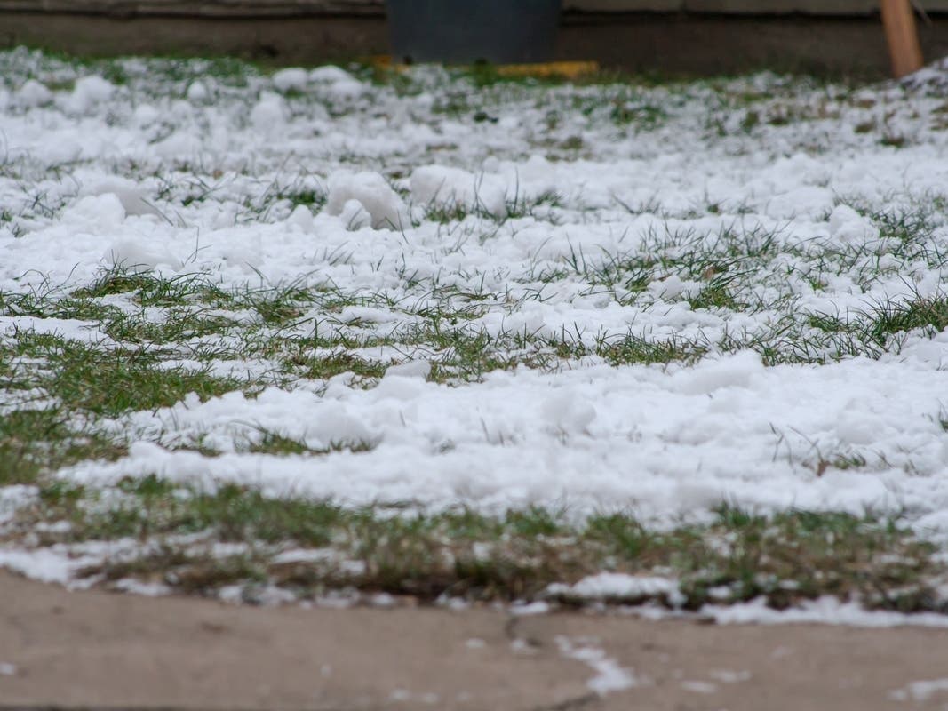
A very wintry week is in store for the Chicago area, and may impact travel.

Wintry weather on Tuesday evening and Wednesday morning may impact travel, as there is a risk for ice accumulation and snow squalls, according to the National Weather Service.
A brief period of light freezing rain could cause slippery travel conditions early Tuesday evening, mainly for areas north of a Dixon to McHenry line, the weather service said.
Winds will then strengthen Tuesday night, and could gust to 40 mph at times.
Find out what's happening in Across Illinoisfor free with the latest updates from Patch.

Wednesday will see gusty snow showers and squalls, which could also cause hazardous travel on Wednesday morning, according to the weather service.
The weather service said additional periods of accumulating snow will then be possible late Thursday through Saturday. In addition to snow, another blast of Arctic air will arrive for the weekend, and bring wind chills as low as 25 below zero on Saturday morning and again on Sunday morning.
Find out what's happening in Across Illinoisfor free with the latest updates from Patch.
Chicago has already seen the snowiest start to winter since 1978, according to weather service data. The two snowiest winters on record are 71.2 inches of snow in winter 1977-78, and 80.6 inches of snow in winter 1978-79. Chicago has seen 17.1 inches of snow so far this season.
Get more local news delivered straight to your inbox. Sign up for free Patch newsletters and alerts.