Weather
Snow Chances, Cold Front Move In After Brief Warmup In Chicago Area
The high for Saturday is 71 degrees, but the area could see a wintry mix by Monday.


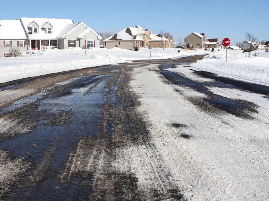
After the first snow of the season earlier this week, many Chicagoans may be wondering when more flakes are set to fall. However, we won't see any this weekend as mild temperatures are expected on Friday and Saturday, according to the National Weather Service forecast.
Friday will have a high of 70, and Saturday a high of 71 degrees. After Saturday, temps will turn much cooler.
"A cold front moving across on Saturday will bring breezy winds this weekend and noticeably cooler conditions for Sunday," the weather service said on its Facebook page.
Find out what's happening in Across Illinoisfor free with the latest updates from Patch.
Friday should remain dry, and there is a chance of rain on Saturday. Saturday and Sunday could have gusts as high as 25 mph as the cold front moves in, according to the weather service.
Right now, the next chance for any sort of snow looks to be Monday night, when there is a chance of rain and a wintry mix.
Find out what's happening in Across Illinoisfor free with the latest updates from Patch.
Here is a more detailed look at the forecast, per the weather service:
FRIDAY: Sunny, with a high near 66. Southwest wind 5 to 10 mph, with gusts as high as 15 mph.
FRIDAY NIGHT: Increasing clouds, with a low around 56. South southwest wind 5 to 15 mph, with gusts as high as 25 mph.
SATURDAY: Partly sunny, with a high near 67. Southwest wind around 15 mph becoming northwest in the afternoon. Winds could gust as high as 25 mph.
SATURDAY NIGHT: Mostly clear, with a low around 36. Northwest wind 10 to 15 mph, with gusts as high as 25 mph.
SUNDAY: Sunny, with a high near 49. West northwest wind 10 to 15 mph, with gusts as high as 25 mph.
SUNDAY NIGHT: Mostly clear, with a low around 29.
Get more local news delivered straight to your inbox. Sign up for free Patch newsletters and alerts.