Weather
Snow In Forecast As Another Arctic Blast Targets Chicago Area
Above freezing temperatures will return early week before another blast of cold.

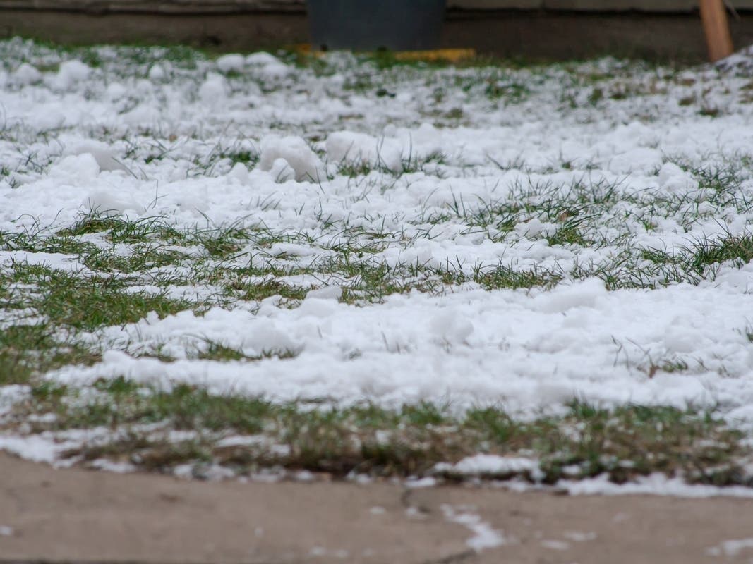
Another wintry week is ahead for the Chicago area, with rain, gusty winds, snow and another blast of Arctic air are all in the forecast.
Monday will have highs in the 20s, however there is a chance of flurries and/or patchy freezing drizzle for areas north of Interstate 88, according to the National Weather Service.
A clipper system will remain north of the Chicago area through mid-week, the weather service said.
Find out what's happening in Across Illinoisfor free with the latest updates from Patch.
"Above freezing temperatures to make a return Tuesday into early Wednesday, paired with gusty winds and some rain," the weather service said on its Facebook.

The high on Tuesday will be 38 degrees, and 37 degrees on Wednesday. Gusty snow showers are possible Wednesday, with gusts as high as 35 mph.
Find out what's happening in Across Illinoisfor free with the latest updates from Patch.
However, after a warmer mid-week, "falling temperatures and periodic snow chances then continue through the end of the week with bitterly cold conditions expected heading into the weekend," the weather service said.
The high for Thursday is 27 degrees, and 22 degrees on Friday. Wind chills on Friday night could be as low as 20 below zero, according to the current forecast.
Here's a more detailed look at the weather this week, per the weather service:
MONDAY: Mostly cloudy, with a high near 23. East wind around 5 mph becoming south in the afternoon. Winds could gust as high as 10 mph.
MONDAY NIGHT: A slight chance of snow between midnight and 3 a.m. Mostly cloudy, with a temperature rising to around 26 by 5 a.m. South southwest wind 5 to 15 mph, with gusts as high as 30 mph. Chance of precipitation is 20 percent.
TUESDAY: Cloudy, with a high near 37. Southwest wind 10 to 15 mph, with gusts as high as 30 mph.
TUESDAY NIGHT: Rain. Low around 34. Breezy, with a south southwest wind 15 to 20 mph, with gusts as high as 35 mph. Chance of precipitation is 90 percent.
WEDNESDAY: A chance of rain and snow before 9 a.m., then a chance of snow. Mostly cloudy, with a high near 37. Breezy, with a northwest wind 15 to 20 mph, with gusts as high as 35 mph. Chance of precipitation is 50 percent.
WEDNESDAY NIGHT: A 20 percent chance of snow. Mostly cloudy, with a low around 13.
THURSDAY: A 30 percent chance of snow, mainly after noon. Partly sunny, with a high near 23.
THURSDAY NIGHT: A chance of snow. Mostly cloudy, with a low around 11.
FRIDAY: A chance of snow. Mostly cloudy, with a high near 19.
FRIDAY NIGHT: A chance of snow before midnight. Mostly cloudy, with a low around 0.
Get more local news delivered straight to your inbox. Sign up for free Patch newsletters and alerts.