Weather
Nor'easter Timeline: When Treacherous Storm Will Peak
Here's when to expect the worst of the severe rain and wind gusts across Massachusetts and Rhode Island.


Tuesday night will be the worst of an autumn nor'easter settling over Massachusetts. Strong winds, heavy rainfall and a dangerous surf are the chief concerns for forecasters.
The rain has already started, though it is no longer widespread Tuesday morning. It will intensify throughout the afternoon, peaking Tuesday night. The evening commute is expected to be a troublesome one. Rain will start tapering off mid-Wednesday morning.
In all, 4-6 inches of rain are expected in the hardest-hit areas of the state.
Find out what's happening in Across Massachusettsfor free with the latest updates from Patch.
Wind could be the most treacherous part of the storm. Gusts will be at their worst Tuesday into Wednesday, potentially reaching as high as 70 miles per hour.
[Effects/Impacts Timeline: Late Oct Nor'easter] Autumn nor'easter to bring several impacts to Southern New England. Peak of the effects and impacts is Tuesday night into Wednesday morning. Here's a color-coded impact graphic that we hope illustrates the timing of these effects: pic.twitter.com/CLb5ng1WBU
— NWS Boston (@NWSBoston) October 25, 2021
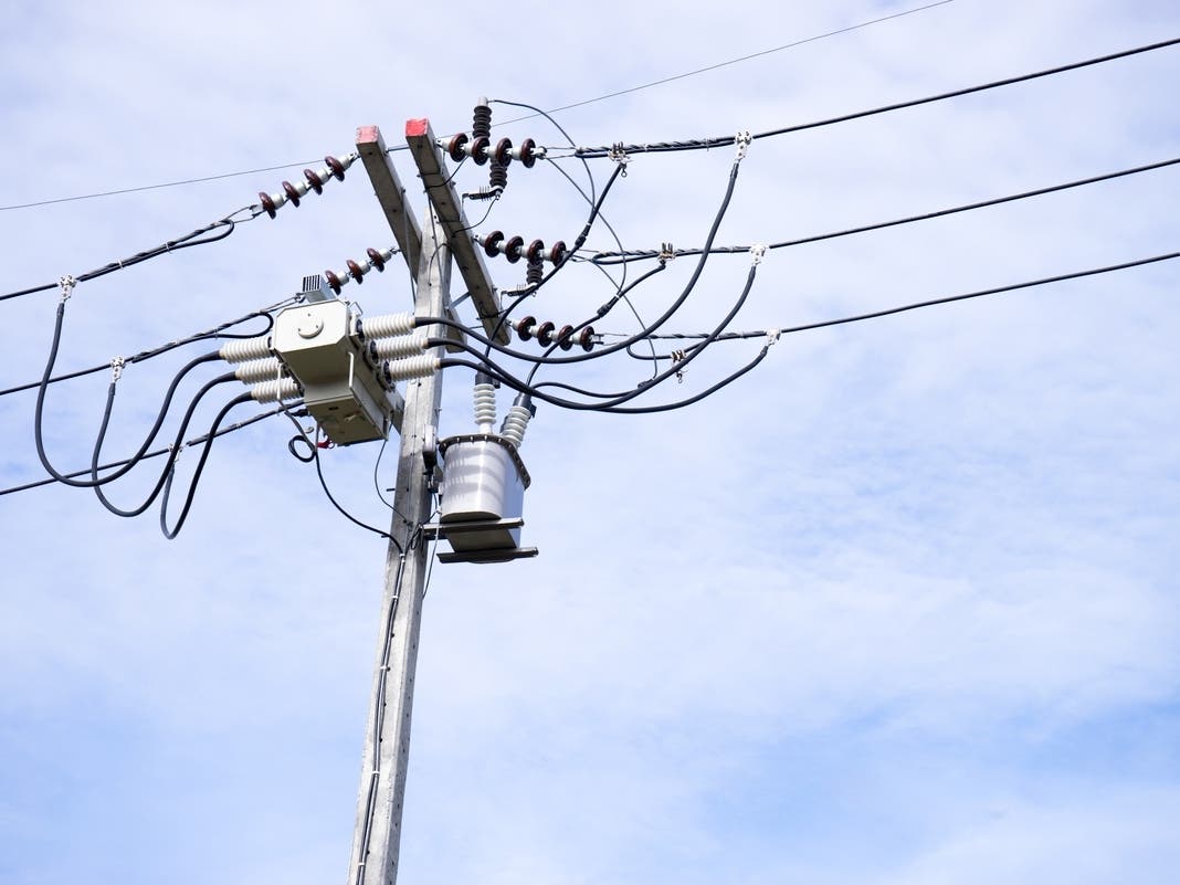
Power outages will be a real threat over the next 24 hours. A high wind warning will be in effect from 2 p.m. Tuesday to 2 p.m. Wednesday.
Find out what's happening in Across Massachusettsfor free with the latest updates from Patch.
"Damaging winds will blow down trees and power lines," the National Weather Service said. "Widespread power outages are expected. Travel will be difficult, especially for high profile vehicles."
Temperatures will be far too high for any snow, but that's not always the case this time of year. In late October 2020, Massachusetts got more than 4 inches of snow.
Boston-area forecast via NWS
Today — Rain likely and possibly a thunderstorm, then rain after 10am. Some of the storms could produce heavy rainfall. Patchy fog. High near 61. Breezy, with a northeast wind 10 to 20 mph, with gusts as high as 34 mph. Chance of precipitation is 90%. New precipitation amounts between three quarters and one inch possible.
Tonight — Rain. The rain could be heavy at times. Patchy fog. Low around 49. Windy, with a north wind 25 to 29 mph, with gusts as high as 60 mph. Chance of precipitation is 100%. New precipitation amounts between 1 and 2 inches possible.
Wednesday — Rain, mainly before 8am. Patchy fog before noon. High near 52. Breezy, with a north wind around 24 mph, with gusts as high as 46 mph. Chance of precipitation is 80%. New precipitation amounts between a quarter and half of an inch possible.
Wednesday night — A slight chance of rain before 8pm, then a slight chance of showers after 8pm. Mostly cloudy, with a low around 47. North wind 14 to 16 mph, with gusts as high as 31 mph. Chance of precipitation is 20%.
Worcester-area forecast via NWS
Today — Rain before 9am, then rain and possibly a thunderstorm between 9am and 10am, then rain after 10am. Patchy dense fog. High near 56. Northeast wind 10 to 15 mph, with gusts as high as 26 mph. Chance of precipitation is 100%. New precipitation amounts between 1 and 2 inches possible.
Tonight — Rain. Patchy fog. Low around 46. Breezy, with a north wind 20 to 22 mph, with gusts as high as 45 mph. Chance of precipitation is 100%. New precipitation amounts between 1 and 2 inches possible.
Wednesday — Rain likely, mainly before 7am. Patchy fog before 1pm. Otherwise, cloudy, with a high near 52. Breezy, with a north wind 18 to 22 mph, with gusts as high as 38 mph. Chance of precipitation is 60%. New precipitation amounts between a tenth and quarter of an inch possible.
Wednesday night — Mostly cloudy, with a low around 44. North wind around 11 mph, with gusts as high as 22 mph.
Get more local news delivered straight to your inbox. Sign up for free Patch newsletters and alerts.