Weather
MA Weather Forecast: Spring Feel, With Near-Record Warmth
After an icy start to the week, parts of the state are expected to flirt with highs we haven't seen in 40 years.


MASSACHUSETTS — The calendar may say February, but it'll feel like spring in Massachusetts for the latter half of the week.
An icy and single-digit start to the week is expected to give way to near-record highs on Thursday. You may be feeling the heat (relatively speaking) already – temperatures are expected to hit the mid-40s on Wednesday, leading into highs in the mid-to-upper 50s in the eastern and central parts of the state.
A degree or two north of what's in the forecast, and the state could set a record for warmth. Highs in Boston are expected to reach 58 degrees, a few degrees shy of the record of 61 set in 1981. It'll be even closer in Worcester, where the forecasted high of 55 degrees is just one degree under the record set that same year.
Find out what's happening in Across Massachusettsfor free with the latest updates from Patch.
Those spring-like temperatures are back! We're watching for near-record warmth, especially for those in Boston & Worcester for Thursday afternoon. Still, plenty warm in Providence & Hartford, but still shy of your record values #MAwx #CTwx #RIwx pic.twitter.com/75RifT41YV
— NWS Boston (@NWSBoston) February 16, 2022
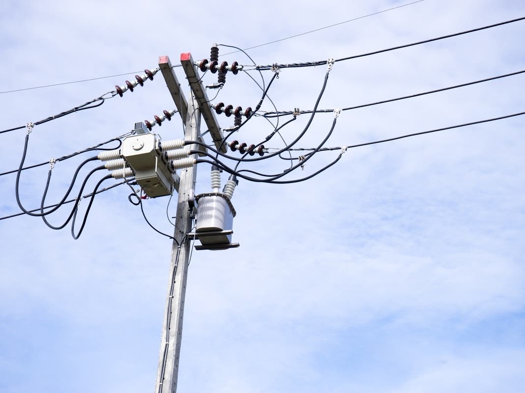
Friday will be about the same, if a few degrees cooler, before temperatures drop to the upper 30s and low 40s over the weekend. The NWS has also issued a high wind watch during expected rain overnight Thursday into Friday.
NWS forecast for the remainder of the week:
Find out what's happening in Across Massachusettsfor free with the latest updates from Patch.
Boston
Thursday
Mostly cloudy, with a high near 61. Southwest wind 14 to 17 mph, with gusts as high as 32 mph.
Thursday Night
Rain, mainly after 11pm. Low around 49. Windy, with a south wind 15 to 20 mph increasing to 23 to 28 mph after midnight. Winds could gust as high as 55 mph. Chance of precipitation is 90%. New precipitation amounts between a quarter and half of an inch possible.
Friday
Rain, mainly before 11am. High near 57. Windy, with a southwest wind 21 to 26 mph becoming northwest 14 to 19 mph in the afternoon. Winds could gust as high as 55 mph. Chance of precipitation is 90%.
Friday Night
Mostly clear, with a low around 22. Northwest wind 5 to 10 mph becoming light after midnight. Winds could gust as high as 21 mph.
Worcester
Thursday
Mostly cloudy, with a high near 57. Southwest wind 14 to 18 mph, with gusts as high as 34 mph.
Thursday Night
Rain, mainly after 10pm. Low around 46. Breezy, with a south wind 15 to 22 mph, with gusts as high as 44 mph. Chance of precipitation is 100%. New precipitation amounts between a half and three quarters of an inch possible.
Friday
Rain, mainly before 10am. High near 54. Breezy, with a southwest wind 13 to 22 mph becoming northwest in the afternoon. Winds could gust as high as 44 mph. Chance of precipitation is 90%.
Friday Night
Mostly clear, with a low around 18. Northwest wind 5 to 9 mph becoming calm in the evening.
Get more local news delivered straight to your inbox. Sign up for free Patch newsletters and alerts.