Weather
MA Weather: When Rain, High Winds Are Expected To End
Cooler temperatures will move in as the icky weather subsides on Friday.


MASSACHUSETTS — Ice and snow, record-setting warmth and windy rainstorms – all in a week's work in Massachusetts.
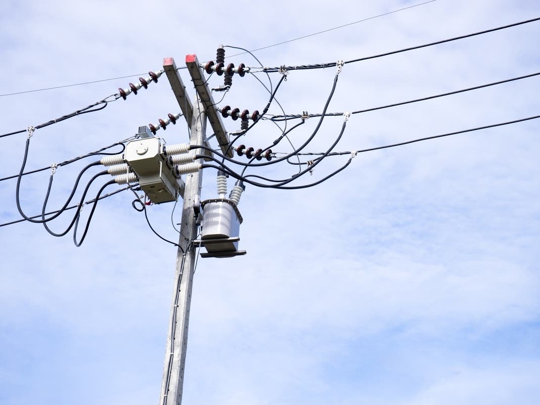
The National Weather Service issued a high wind warning overnight Thursday into Friday, with the worst of it concentrated in the southeastern part of the state. As of 9:15 a.m. Friday, the wind and rain had knocked out power to more than 23,000 people, down from the peak of more than 28,000 outages earlier in the morning.
Wind speeds were the highest on the Cape, reaching 65 mph in Dennis overnight and 63 mph in Falmouth. Several communities reported downed trees and wires, and Eversource warned people to use caution during their morning commute.
Find out what's happening in Across Massachusettsfor free with the latest updates from Patch.
"Our crews have been working through the night and this morning to clear blocked roads and repair damage caused by the strong winds," the company said in a statement. "Please be careful if you need to head out this morning. Never drive over downed wires and steer clear of debris that could be tangled up with them."
The wind warning from the NWS ended at 9 a.m., but high speeds remain in the forecast until 1 p.m.
Find out what's happening in Across Massachusettsfor free with the latest updates from Patch.
[Strong-Damaging Winds/Heavy Rain] Strong to damaging wind gusts are expected after midnight; with the strongest of those winds across RI/SE MA between 2 & 8 am Friday morning. Brief heavy rain may also result in typical nuisance street flooding for the early Fri am commute. pic.twitter.com/Wrjl6NvfB7
— NWS Boston (@NWSBoston) February 17, 2022
The rain could start letting up as soon as 10 a.m., but the warm weather will leave with the clouds. Temperatures are expected to fall to around 39 degrees by 5 p.m. – a drastic comedown from the record-tying 61 degrees in Boston and record-breaking 59 degrees in Worcester on Thursday – and there is a chance of more snow on Saturday.
See the full weekend forecast from the NWS below:
Boston
Friday
A chance of rain, mainly before 10am. Cloudy early, then gradual clearing, with a temperature falling to around 39 by 5pm. Breezy, with a southwest wind 16 to 20 mph becoming northwest in the afternoon. Winds could gust as high as 41 mph. Chance of precipitation is 40%. New precipitation amounts of less than a tenth of an inch possible.
Friday Night
Mostly clear, with a low around 21. Northwest wind 5 to 10 mph becoming light west after midnight. Winds could gust as high as 22 mph.
Saturday
A chance of snow, mainly after 2pm. Increasing clouds, with a high near 39. Southwest wind 5 to 13 mph, with gusts as high as 23 mph. Chance of precipitation is 40%. Little or no snow accumulation expected.
Saturday Night
A slight chance of snow before 8pm. Mostly clear, with a low around 18. West wind 11 to 16 mph, with gusts as high as 28 mph. Chance of precipitation is 20%.
Sunday
Sunny, with a high near 36. Northwest wind 7 to 9 mph becoming southwest in the afternoon.
Sunday Night
Mostly clear, with a low around 30. Southwest wind around 11 mph, with gusts as high as 24 mph.
Presidents' Day
Mostly sunny, with a high near 51. Southwest wind around 9 mph.
Worcester
Friday
Sunny, with a temperature falling to around 34 by 5pm. Northwest wind 14 to 17 mph, with gusts as high as 33 mph.
Friday Night
Mostly clear, with a low around 17. Northwest wind 5 to 8 mph becoming light and variable after midnight.
Saturday
A chance of snow, mainly after noon. Increasing clouds, with a high near 35. South wind 6 to 13 mph, with gusts as high as 24 mph. Chance of precipitation is 50%. New snow accumulation of 1 to 2 inches possible.
Saturday Night
Mostly clear, with a low around 14. Northwest wind 9 to 15 mph, with gusts as high as 31 mph.
Sunday
Sunny, with a high near 34. Northwest wind 6 to 10 mph becoming southwest in the afternoon.
Sunday Night
Mostly clear, with a low around 26. Southwest wind around 11 mph, with gusts as high as 24 mph.
Presidents' Day
Mostly sunny, with a high near 50. Southwest wind 8 to 10 mph.
Cape
Friday
A chance of rain, mainly before 10am. Cloudy early, then gradual clearing, with a temperature falling to around 38 by 5pm. Windy, with a southwest wind 23 to 28 mph becoming northwest 14 to 19 mph in the afternoon. Winds could gust as high as 44 mph. Chance of precipitation is 30%. New precipitation amounts of less than a tenth of an inch possible.
Friday Night
Mostly clear, with a low around 17. Northwest wind 6 to 11 mph becoming light after midnight.
Saturday
A chance of rain between noon and 4pm, then a chance of snow after 4pm. Increasing clouds, with a high near 39. Southwest wind 6 to 11 mph increasing to 12 to 17 mph in the afternoon. Chance of precipitation is 30%. Little or no snow accumulation expected.
Saturday Night
Mostly cloudy, then gradually becoming clear, with a low around 21. Blustery, with a northwest wind 18 to 22 mph, with gusts as high as 33 mph.
Sunday
Sunny, with a high near 38. Northwest wind 7 to 14 mph becoming southwest in the afternoon.
Sunday Night
Mostly clear, with a low around 31. Southwest wind 16 to 18 mph, with gusts as high as 28 mph.
Presidents' Day
Mostly sunny, with a high near 44. Southwest wind 14 to 16 mph.
Get more local news delivered straight to your inbox. Sign up for free Patch newsletters and alerts.