Weather
Risk Of Severe Weather In MA Returns With Heat
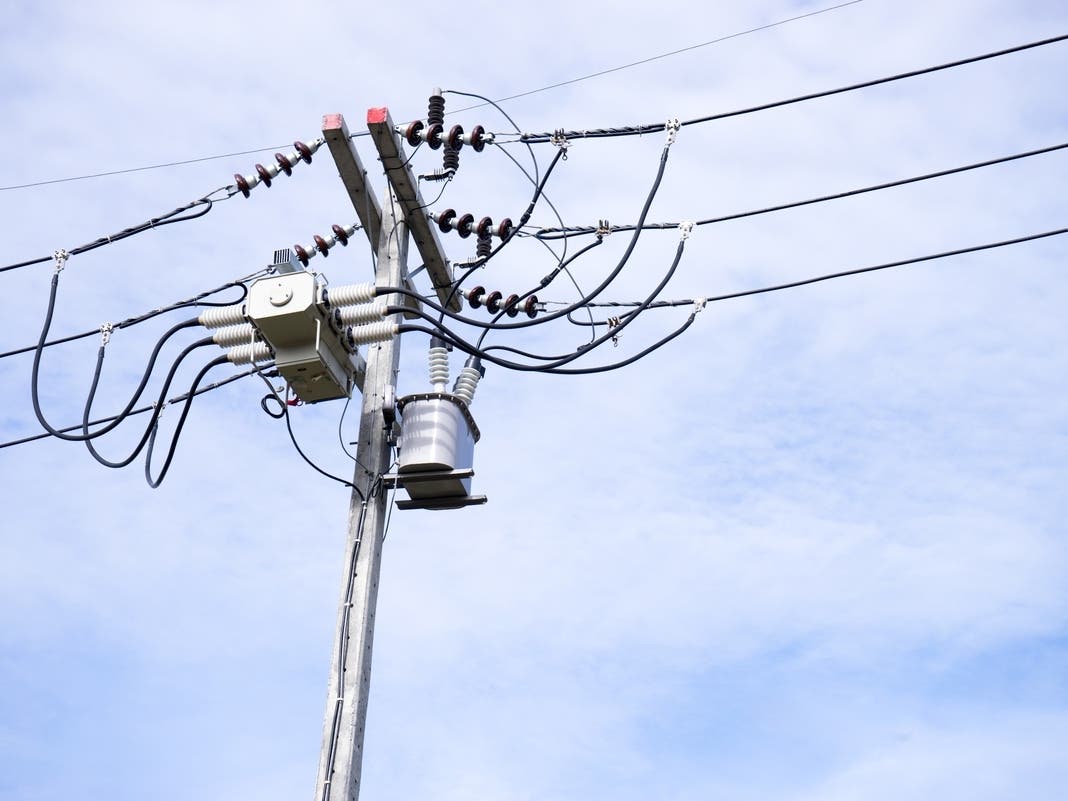
Thunderstorms may bring heavy rain and strong winds to Massachusetts Wednesday evening, forecasters say.


MASSACHUSETTS — Watch for strong to severe thunderstorms Wednesday across Massachusetts alongside high heat and humidity, according to forecasters.
There's a slight risk of thunderstorms early Wednesday afternoon, but National Weather Service forecasters say the real risk will appear around sunset. The biggest threats will be high winds and heavy rains.
"While a few thunderstorms are possible during this afternoon, it is more likely to be late this afternoon into this evening where extra attention will be needed. A few thunderstorms could be strong with the greatest threats being gusty winds and locally heavy rainfall," the weather service said in a tweet early Wednesday morning.
Find out what's happening in Across Massachusettsfor free with the latest updates from Patch.
As of early Wednesday morning, forecasters were only predicting a "marginal" risk of severe thunderstorms.
Temperatures will reach the low 90s across much of the state between Worcester and Boston, while temperatures will remain about 10 degrees cooler across Cape Cod.
Find out what's happening in Across Massachusettsfor free with the latest updates from Patch.
Any storms that arrive on Wednesday will help push out that heat. Thursday and Friday will feature lower humidity compared to Wednesday and temperatures only in the high 70s or low 80s.
Get more local news delivered straight to your inbox. Sign up for free Patch newsletters and alerts.