Weather
Severe Weather In MA Friday Likely: National Weather Service
Thunderstorms will be possible all afternoon Friday into the nighttime hours, forecasts show.


MASSACHUSETTS — Friday's heat and humidity will help thunderstorms roll across the state Friday, with the biggest risk outside the I-95 belt, according to the National Weather Service.
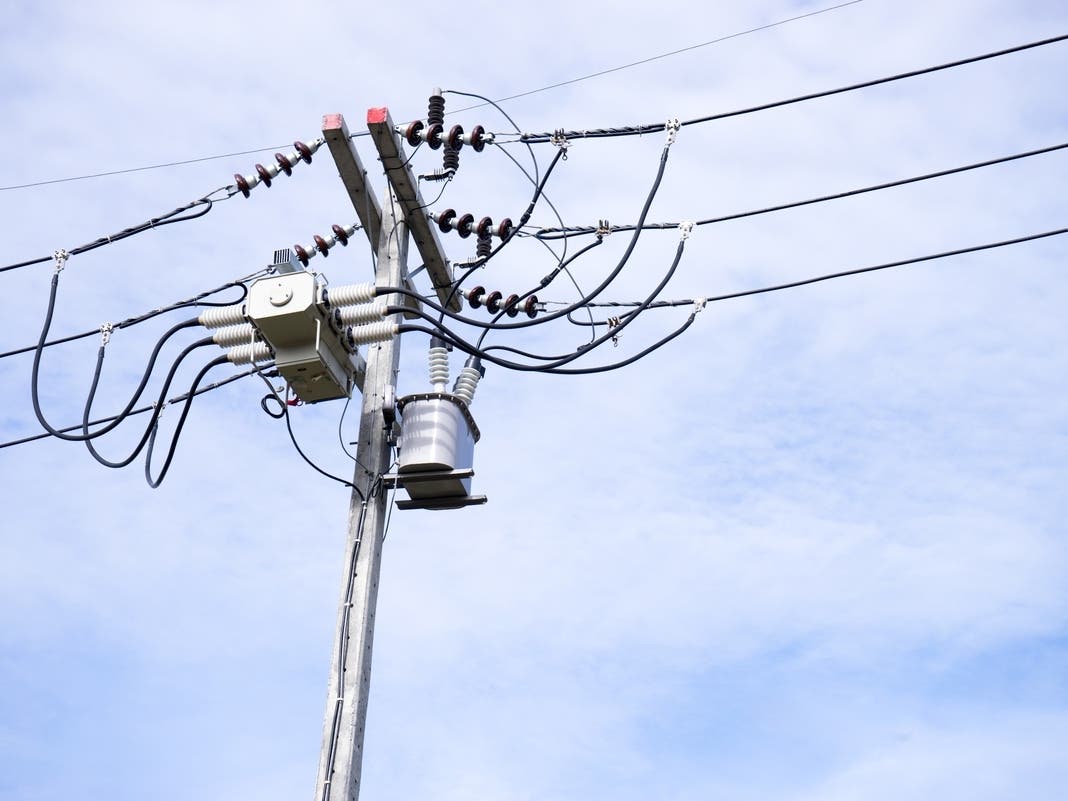
The storms may begin as early as noon and last through about 9 p.m. Friday. Heavy rain and high wind gusts will be the biggest threat, with hail also possible.
"Main concern continues to revolve around the threat for scattered severe thunderstorms this afternoon and evening, with the main risk northwest of I-95. Timing of the convection remains tricky, but appears we may have two rounds. The first in the noon to 5 p.m. range on a pre-frontal trough and perhaps a second round as the shortwave approaches early this evening," the weather service said in a forecast early Friday morning.
Find out what's happening in Across Massachusettsfor free with the latest updates from Patch.
Outside of the main area of concern, the Cape and islands will also have a marginal risk of severe weather. Friday will also be hot, with temperatures peaking near 90 in the Boston area and 86 in Worcester.
But the severe weather will clear the way for a very nice weekend across the state. Some rain showers may linger across the eastern half of the state Saturday morning before a trend of dry, seasonable weather with temperatures in the 70s.
Find out what's happening in Across Massachusettsfor free with the latest updates from Patch.
Get more local news delivered straight to your inbox. Sign up for free Patch newsletters and alerts.