Weather
Arctic Blast Brings Chances For Snow, Rain In NYC: See Timeline
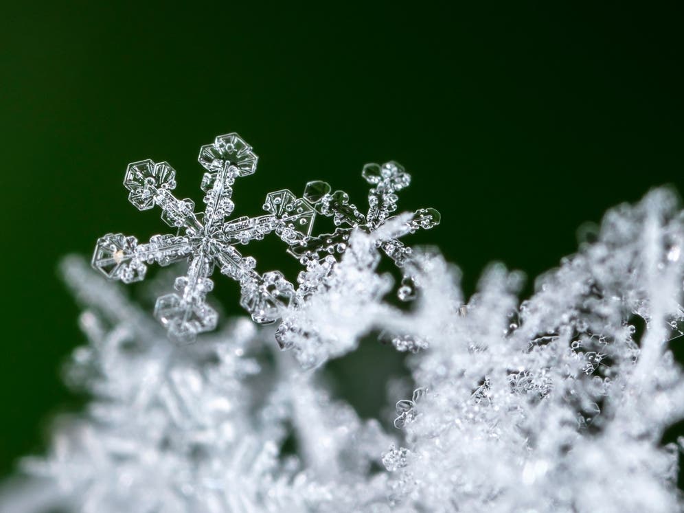
A polar vortex is bringing 10-15 degree wind chills and chances for rain and snow this week, forecasters said.

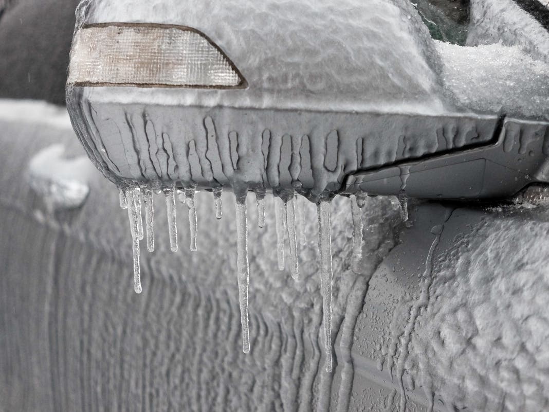
NEW YORK CITY — New Yorkers should brace for a frigid start to the weekend, as a polar vortex is moving toward the city, bringing with it frigid temperatures and possible snow, forecasters said Thursday.
The arctic blast will begin to move through the city Thursday, wind gusts as high as 34 miles per hour during the day and below-freezing temperatures that feel even colder due to the wind chill.
By Friday, the arctic blast will also bring frigid, potentially record-setting temperatures that will feel between 10 and 15 degrees, meteorologists said.
Find out what's happening in Central Parkfor free with the latest updates from Patch.
The blast of polar air could also bring light snow across the city, which would continue through the night into Saturday morning, when the snow will turn into light rain, National Weather Service meteorologists said.
"Highs are normally in the upper 40s this time of the year," forecasters from the National Weather Service said. "Low temperatures will be mostly in the teens early Friday morning, which may break some records."
Find out what's happening in Central Parkfor free with the latest updates from Patch.
Luckily, Sunday will be dry, forecasters said.
The arctic blast is the first of three rounds which will continue throughout the month, meteorologists from AccuWeather said.
"This Arctic air outbreak can be attributed to a displacement of the polar vortex," AccuWeather Lead Long-Range Meteorologist Paul Pastelok said. "The outbreak this week will be the first of probably three such rounds with it. Another cold blast is likely next week and a third the week after that."
Though snow is possible for Friday, forecasters from the National Weather Service say little to no accumulation is expected.
Here is the latest forecast from the National Weather Service.
Thursday: Mostly cloudy, then gradually becoming sunny, with a high near 39. Wind chill values between 20 and 30. Breezy, with a west wind 13 to 18 mph increasing to 19 to 24 mph in the afternoon. Winds could gust as high as 34 mph.
Thursday night: Mostly clear, with a low around 21. Wind chill values between 10 and 15. Blustery, with a north wind 19 to 24 mph decreasing to 9 to 14 mph after midnight. Winds could gust as high as 34 mph.
Friday: A 20 percent chance of light snow after 4pm. Increasing clouds, with a high near 32. Wind chill values between 10 and 20. Northeast wind 5 to 7 mph becoming calm in the morning.
Friday night: A 40 percent chance of light snow, mainly after 7 p.m. Mostly cloudy, with a low around 30. Calm wind.
Saturday: A 20 percent chance of light rain before 10 a.m. Partly sunny, with a high near 41. Light and variable wind.
Saturday night: Partly cloudy, with a low around 31.
Sunday: Partly sunny, with a high near 41.
Sunday night: Mostly cloudy, with a low around 25.
For questions and tips, email Miranda.Levingston@Patch.com.
Get more local news delivered straight to your inbox. Sign up for free Patch newsletters and alerts.