Weather
Heavy Rain, Strong Winds Could Disrupt Early NYC Holiday Travel, Forecasters Say
Heavy rain and winds are expected to follow a sudden shift in temperature across NYC, according to the latest forecast.

NEW YORK CITY — A storm system is approaching New York City, bringing strong winds, heavy rain, and coastal flooding starting Thursday night, which could lead to messy holiday travel conditions, meteorologists at the National Weather Service predict.
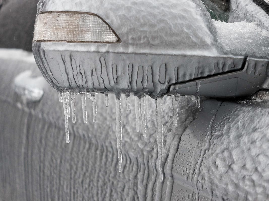
Before the storm kicks off on Thursday night, temperatures will warm up in the city, with highs predicted in the low 50s on Thursday, melting the snow and ice that remains on the sidewalks and parks, as the frigid Arctic air leaves the region, forecasters said.
Forecasters at the National Weather Service say winds could blow as fast as 39 miles per hour on Thursday night and 43 miles per hour on Friday, which could lead to flight delays in and out of the city.
Find out what's happening in Central Parkfor free with the latest updates from Patch.
Up to three-quarters of an inch of rain is predicted on both Thursday night and Friday during the day, with a possible thunderstorm on Friday, National Weather Service officials said.
Though details will be further refined over the next two days, forecasters said.
Find out what's happening in Central Parkfor free with the latest updates from Patch.
Rain is expected Thursday night into the first half of Friday. Around an inch of rain is forecast along with warmer temperatures (upper 40s/lower 50s Thursday night and lower/middle 50s on Friday). These conditions will wash away the snow pack that is currently across the area. pic.twitter.com/8IVkFWsE8Z
— NWS New York NY (@NWSNewYorkNY) December 17, 2025
"NYC Emergency Management is coordinating closely with the National Weather Service on a storm system expected to impact the area Thursday night into Friday, with potential impacts during the Friday morning commute," the New York City Department of Emergency Management said on X (formerly Twitter).
"This Friday will kick off a very busy travel weekend, so be prepared for travel delays starting Friday that could have cascading effects into the weekend should there be flight cancellations."
Here is the latest forecast from the National Weather Service.
Wednesday night: Partly cloudy, with a low around 37. West wind 5 to 8 mph becoming calm in the evening.
Thursday: Mostly sunny, with a high near 52. Calm wind becoming southeast around 5 mph in the afternoon.
Thursday night: Showers, with thunderstorms also possible after 5 a.m. Low around 45. Southeast wind 6 to 16 mph, with gusts as high as 39 mph. The chance of precipitation is 100 percent. New rainfall amounts between a half and three-quarters of an inch possible.
Friday: Showers and possibly a thunderstorm. Temperature falling to around 42 by 5 p.m. South wind around 18 mph becoming west in the afternoon. Winds could gust as high as 43 mph. Chance of precipitation is 80 percent. New precipitation amounts between a half and three-quarters of an inch possible.
Friday night: Partly cloudy, with a low around 29.
Saturday: Partly sunny, with a high near 40.
Saturday night: Mostly cloudy, with a low around 36.
Sunday: Partly sunny, with a high near 47.
Sunday night: Partly cloudy, with a low around 29.
For questions and tips, email Miranda.Levingston@Patch.com.
Get more local news delivered straight to your inbox. Sign up for free Patch newsletters and alerts.