Weather
First Snow, Ice Of The Season Headed To Hudson Valley
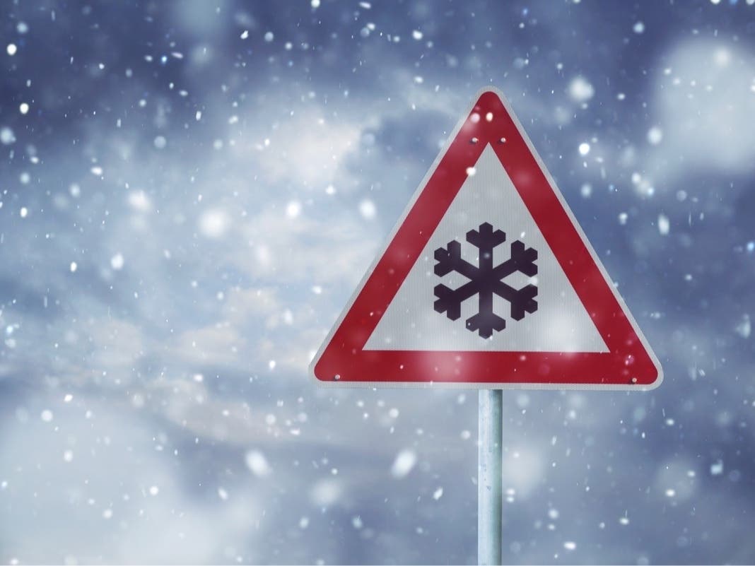
The National Weather Service issued winter weather advisories and hazardous weather outlooks for most of the region.


HUDSON VALLEY, NY — Snow and ice remain in the forecast as winter weather advisories are issued for parts of the Hudson Valley. This could make Wednesday morning’s commute a real challenge.
The National Weather Service has issued advisories for Orange, Dutchess, Columbia and Ulster counties.
Orange leads the way with its advisory that is in effect from 5 p.m. Tuesday until 7 a.m. Wednesday.
Find out what's happening in Mid Hudson Valleyfor free with the latest updates from Patch.
Meteorologists are calling for mixed precipitation, with total snow accumulations of up to 2 inches and a light glaze of ice.
In Dutchess, Ulster and Columbia, the advisory is in effect from 6 p.m. Tuesday through 10 a.m. Wednesday.
Find out what's happening in Mid Hudson Valleyfor free with the latest updates from Patch.
Mixed precipitation is in the forecast also, with total snow accumulations of 1 to 3 inches, with up to 4 inches possible in higher terrain. Ice could accumulate up to one tenth of an inch.
Motorists should plan on slippery road conditions, with hazardous conditions impacting the Wednesday morning commute.
Meteorologists said the precipitation will begin as snow, then transition to a wintry mix including freezing rain Tuesday night before ending as rain Wednesday.
The rest of the region, with the exception of southern Westchester, could see hazardous weather in the form of a wintry mix starting late Tuesday afternoon and continuing into the night. Before it changes to plain rain, there is the potential for light ice and snow accumulations, the weather service said. Untreated roads could make for hazardous travel.
For Putnam and northern Westchester, there is a slight chance of rain, snow and sleet after 4 p.m. Tuesday. That continues until about 10 p.m. when it becomes all rain.
Rockland and southern Westchester will likely just have an all-rain event.
Here is the forecast for northern Westchester for Tuesday and Wednesday from the National Weather Service.
- Tuesday: A slight chance of rain, snow, and sleet after 4pm. Increasing clouds, with a high near 43. East wind 3 to 5 mph. Chance of precipitation is 20%.
- Tuesday Night: Rain, snow, and sleet, becoming all rain after 10pm. Low around 35. Northeast wind 5 to 9 mph, with gusts as high as 20 mph. Chance of precipitation is 100%. New snow and sleet accumulation of less than a half inch possible.
- Wednesday: Rain, mainly before 10am. High near 46. Northeast wind around 9 mph becoming west in the afternoon. Chance of precipitation is 80%. New precipitation amounts between a tenth and quarter of an inch possible.
- Wednesday Night: Partly cloudy, with a low around 31. West wind around 7 mph.
Get more local news delivered straight to your inbox. Sign up for free Patch newsletters and alerts.