Weather
Hudson Valley Heat Wave: Advisories Extended To Friday
There is a slight risk for severe thunderstorms. Here's the latest.

HUDSON VALLEY, NY — With the region in an official heat wave — temperatures over 90 degrees for at least three days — the National Weather Service has extended its heat advisories for Dutchess, Orange, Putnam, Rockland, eastern Ulster and northern Westchester counties until 8 p.m. Friday.
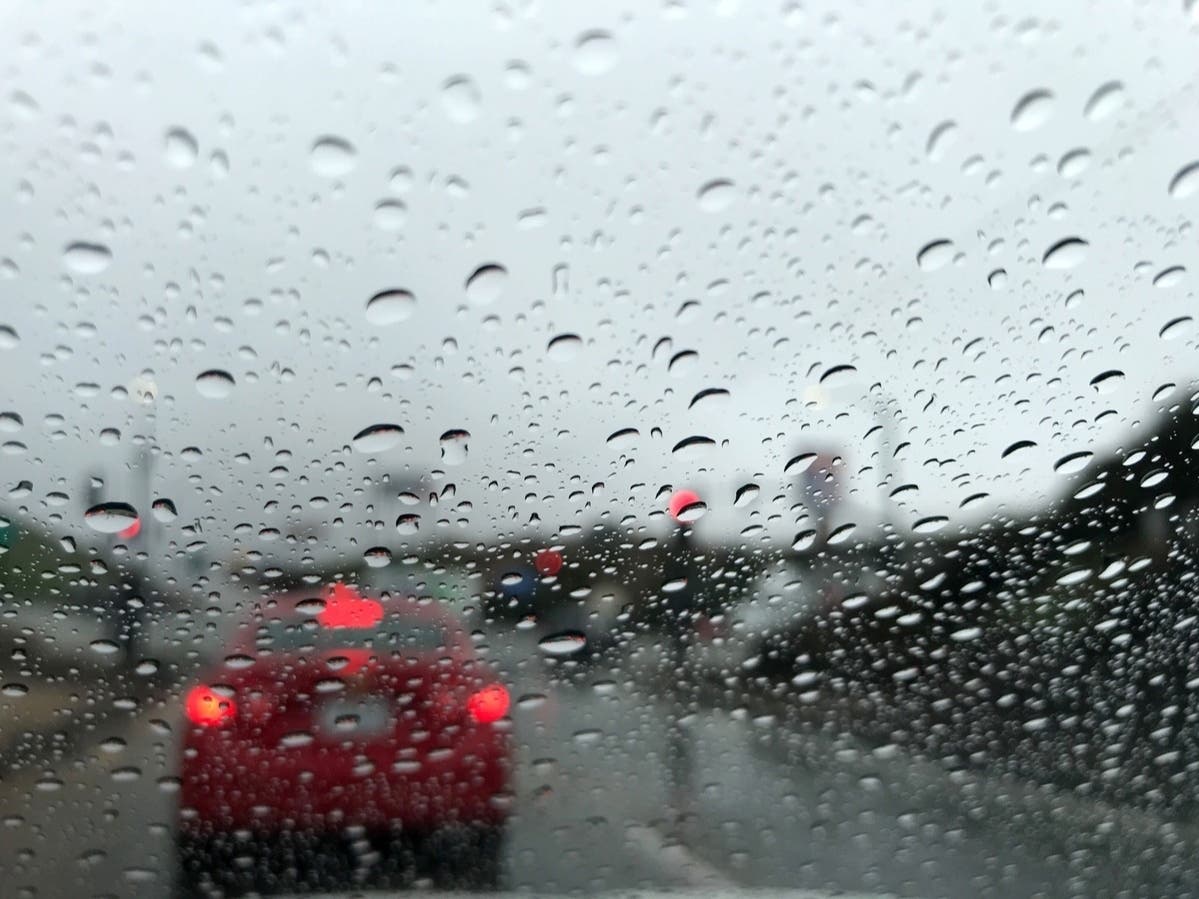
There is a slight risk (level 2 of 5) for severe thunderstorms for nearly all of eastern New York Thursday, with damaging wind gusts the primary hazard. Should storms repeatedly affect any given area, poor drainage flooding is possible, the NWS said.
Heat index values or “feel-like” temperatures were between 92 and 102°F in the region at 3:40 p.m., according to New York State Mesonet.
Find out what's happening in Mid Hudson Valleyfor free with the latest updates from Patch.

All areas should fall below heat advisory criteria on Saturday, the NWS said. Additional heat advisories may be needed for some valley areas on Sunday but will depend on cloud coverage and shower/thunderstorm timing and coverage.
Air quality advisories continue and the New York State Department of Environmental Conservation has already issued an advisory for Friday.
Find out what's happening in Mid Hudson Valleyfor free with the latest updates from Patch.

Thunderstorms provide the primary chances for rain in the next five days.
- Here's the forecast based on northern Westchester:
- Thursday Afternoon - Mostly sunny. Highs in the lower 90s. Southwest winds 5 to 10 mph.
- Tonight - Partly cloudy. Lows around 70. Southwest winds 5 to 10 mph.
- Friday - Partly sunny. A chance of showers and thunderstorms in the afternoon. Humid with highs in the lower 90s. West winds around 5 mph. Chance of rain 50 percent. Heat index values in the upper 90s.
- Friday Night - Mostly cloudy with a chance of showers and thunderstorms. Humid with lows in the upper 60s. East winds around 5 mph. Chance of rain 50 percent.
- Saturday - Mostly cloudy in the morning, then becoming partly sunny. A chance of showers and thunderstorms. Humid with highs in the upper 80s. South winds 5 to 10 mph. Chance of rain 50 percent.
- Saturday Night - Mostly cloudy with a chance of showers and thunderstorms. Lows in the upper 60s. Chance of rain 50 percent.
- Sunday - Partly sunny. A chance of showers and thunderstorms in the afternoon. Highs in the lower 90s. Chance of rain 40 percent. Heat index values up to 100.
- Sunday Night - Showers likely with a chance of thunderstorms. Lows in the lower 70s. Chance of rain 70 percent.
- Monday - Partly sunny. Showers likely with a chance of thunderstorms in the morning, then a chance of showers and thunderstorms in the afternoon. Highs in the upper 80s. Chance of rain 60 percent.
- Monday Night - Partly cloudy. A chance of showers and thunderstorms in the evening. Lows in the mid 60s. Chance of rain 50 percent.
Get more local news delivered straight to your inbox. Sign up for free Patch newsletters and alerts.