Weather
HV Braces For Severe Weather; 1.4K Without Power From Tuesday's Storms
One more day with heat indices approaching or exceeding 100°F. Here's the latest.


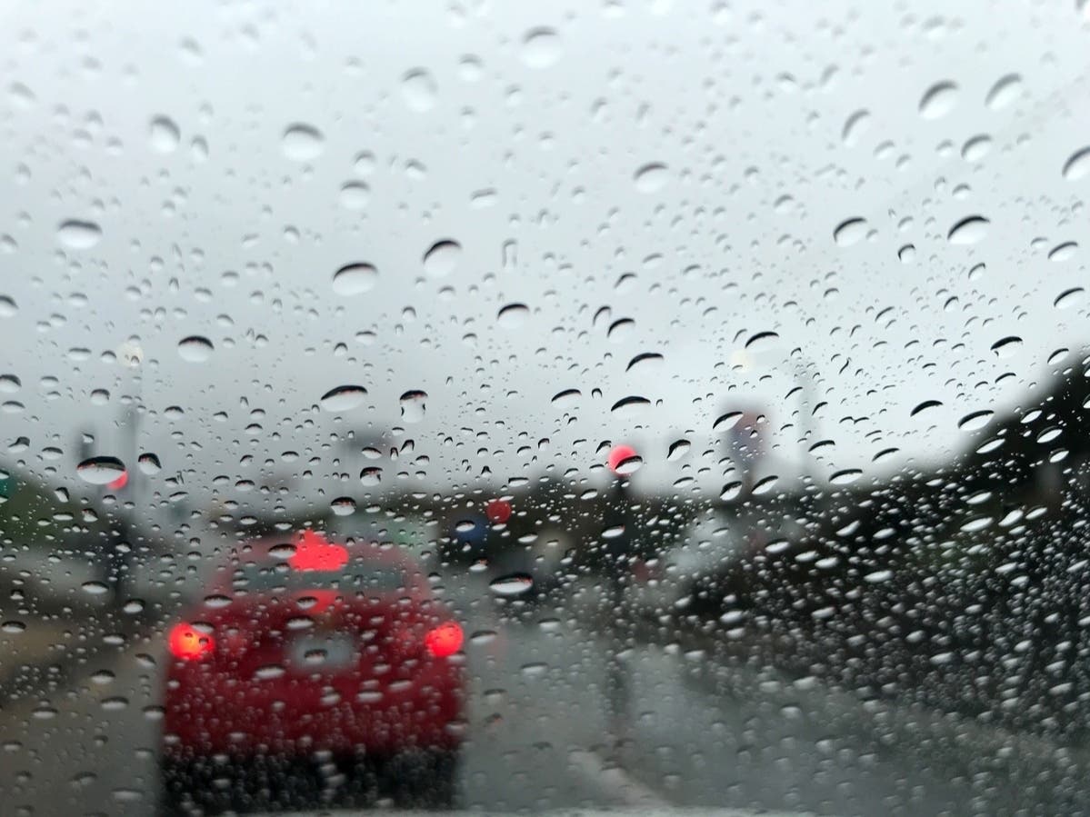
HUDSON VALLEY, NY — As our third heat wave continues, Wednesday's thunderstorms are expected to be worse than Tuesday's, which left thousands of homes and businesses without power across the region.
That's because an approaching cold front will collide with the very hot and humid air mass we've been experiencing, Todd Snow of Hudson Valley Weather said on Facebook. "This type of scenario always leads to really severe weather."
At 9 a.m. Wednesday, 1,400 customers locally were still out of power from Tuesday evening's round of storms, which included a tornado in central New York:
Find out what's happening in Mid Hudson Valleyfor free with the latest updates from Patch.
- Cen Hud: 450 in Dutchess County, 71 in Orange, 618 in Ulster
- NYSEG: 7 in Dutchess, 1 in Orange, 1 in Putnam, 4 in Ulster
- O&R: 93 in Rockland, 70 in Orange
- Con Ed: 93 in Westchester
Heat advisories continue until 6 p.m. with heat indices approaching or exceeding 100°F. Hazardous outlooks have been issued for the storms.

The storms are erupting and rolling from the eastern Great Lakes, Ohio Valley and middle Mississippi Valley to the Appalachians and Atlantic Seaboard into Wednesday and beyond in some cases, said Alex Sosnowski, AccuWeather senior meteorologist.
Find out what's happening in Mid Hudson Valleyfor free with the latest updates from Patch.
They can lead to major travel delays as they approach and pass through the major metro areas, he said.
The National Weather Service's Storm Prediction center has placed much of the Hudson Valley in a Slight risk of Severe Weather. Thunderstorms may produce damaging wind gusts which could produce isolated to scattered instances of downed trees, tree limbs and power outages.
"A saturated atmosphere could trigger a quick 2”-3” of rainfall this afternoon through early Thursday morning. There are elevated concerns for localized flooding this evening," Bruce Furbeck of First Due Weather said on Facebook.
As for the timing: Hudson Valley Weather predicted scattered thunderstorms would start around noon and then more storms would spread across the region later in the afternoon.
Here's an hour-by-hour look based on Dutchess County:

Get more local news delivered straight to your inbox. Sign up for free Patch newsletters and alerts.