Weather
More Winter Weather In Forecast For Mid-Hudson Valley
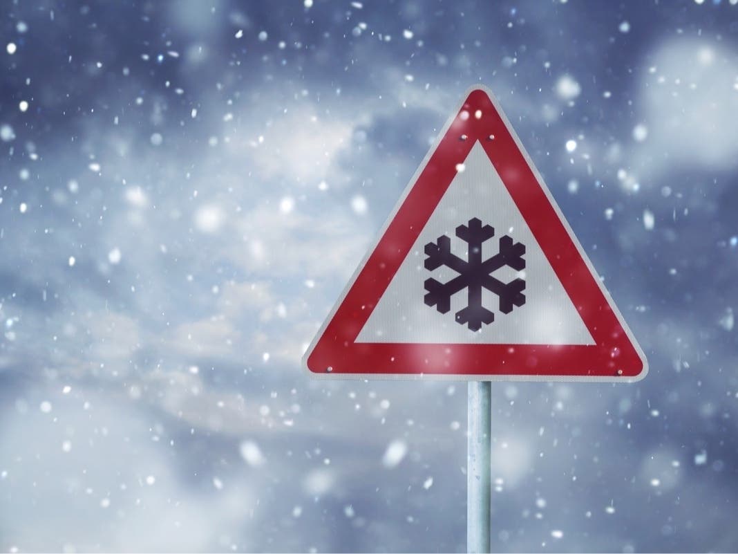
A hazardous weather outlook was issued for parts of the mid-Hudson Valley.


MID-HUDSON VALLEY, NY — Now that you’ve had a chance to clean the snow off your car, it’s time to think about the next winter weather heading to the mid-Hudson Valley.
The National Weather Service has issued a hazardous weather outlook beginning Wednesday for Columbia, Ulster and Dutchess counties.
Meteorologists said that potential continues to increase for a late week coastal storm, which could bring moderate to heavy wintry precipitation and wind to at least parts of the region, especially across the higher terrain.
Find out what's happening in Mid Hudson Valleyfor free with the latest updates from Patch.
According to the forecast for Poughkeepsie, there is a chance of snow after 1 p.m. Thursday, followed by rain, possibly mixed with snow, becoming all rain after 4 a.m. Thursday night.
A winter storm watch will likely be issued in the next day or so, the weather service said.
Find out what's happening in Mid Hudson Valleyfor free with the latest updates from Patch.
Get more local news delivered straight to your inbox. Sign up for free Patch newsletters and alerts.