Weather
Freezing Rain: Forecast Ice Event Triggers Winter Weather Advisory In The Hudson Valley From The NWS
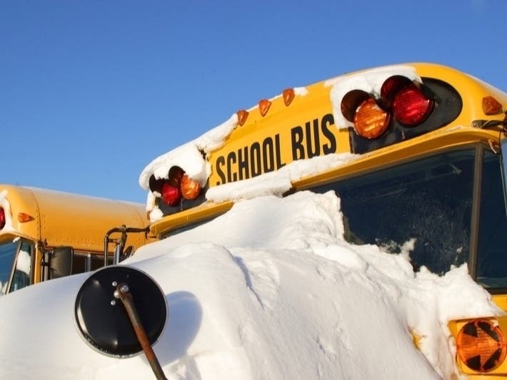
Freezing fog is already making driving treacherous, but the chance of freezing will create slippery conditions across the region.

HUDSON VALLEY, NY — Areas near the Long Island sound will likely be spared, but much of the rest of the Hudson Valley is in for potentially hazardous conditions beginning Sunday evening, according to the National Weather Service.
A Winter Weather Advisory in effect from 4 p.m. Sunday until early Monday Morning in portions of Westchester, Rockland, Putnam Dutchess, Orange and Sullivan counties.
A period of freezing rain is likely across the region starting this evening, according to the NWS. Temperatures are expected to warm Sunday night leading to a change to plain rain towards or just after midnight, according to the forecast.
Find out what's happening in Yorktown-Somersfor free with the latest updates from Patch.

A glaze to a tenth of an inch of ice accumulation is expected in the advisory area leading to slippery roads and hazardous travel. Difficult, and potentially dangerous travel conditions are expected over at least a 3 to 6 hour period when temperatures hover between 29 to 32 degrees.
Forecasters said that how quickly the precipitation arrives this evening; how long the cold air remains at and near the ground; and the potential for pockets of trapped low level cold air at the surface may prolong the period of freezing rain, especially across low lying areas to the north.
Find out what's happening in Yorktown-Somersfor free with the latest updates from Patch.


Get more local news delivered straight to your inbox. Sign up for free Patch newsletters and alerts.