Weather
Wisconsin Snow Totals: Up To 7 Inches Fall From Oshkosh To Lake Michigan
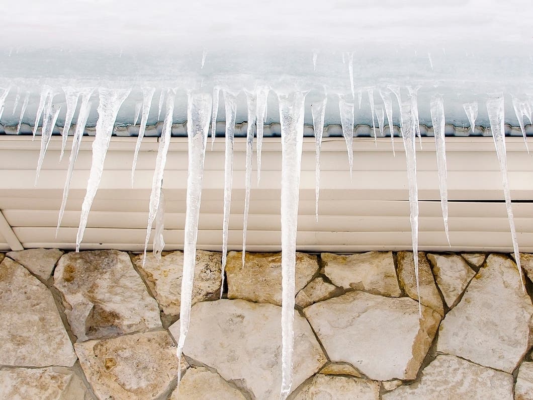
Wisconsin's first widespread December snow brought a sharp north–south gradient Wednesday.


WISCONSIN — Wisconsin’s first widespread December snow brought a sharp north–south gradient Wednesday, with parts of east central Wisconsin picking up 6 to 7 inches while areas closer to Milwaukee saw little more than a coating.
The heaviest band set up from Oshkosh through the Fox Valley to the lakeshore, where several communities topped 6 inches in National Weather Service reports.
Top totals included:
Find out what's happening in Milwaukeefor free with the latest updates from Patch.
- 1 SW Oshkosh – 7.1 inches
- 1 ENE Chilton – 7 inches
- Greenville – 6.5 inches
- Appleton – 6.5 inches
- Neenah – 6 inches
- Two Rivers – 6 inches
- Neshkoro – 6 inches
A broader zone of 4 to 5.8 inches stretched across Waupaca, Fond du Lac, Beaver Dam, and West Bend, consistent with the NWS Milwaukee accumulation map showing 4 to 6 inches across central Wisconsin.
- Branch – 5.8 inches
- Darboy – 5.8 inches
- 2 WNW Appleton – 5.4 inches
- Millhome – 5.4 inches
- Combined Locks – 5.2 inches
- Mayville – 4 inches
- Fredonia – 4 inches
- Portage – 3.2 inches
- Hartford – 3.9 inches
Find out what's happening in Milwaukeefor free with the latest updates from Patch.
Totals dropped off quickly south of a line from Madison to Oconomowoc. Madison reported 2.3 inches, while areas closer to Milwaukee generally saw 1 inch or less, including Lake Mills, Stoughton, Eagle, and New Berlin.
In Milwaukee and Waukesha counties, most reports were under an inch, reflecting the warm air intrusion and mixed precip that kept totals down.
The NWS noted that “tight gradients” in this storm made exact amounts highly sensitive to small track shifts, with locally higher totals likely in narrow bands.
Roads remained slick in the higher-snowfall corridor Wednesday morning, with plows active through late morning across the Fox Valley and Sheboygan County.
Here's the full NWS forecast from the Milwaukee Airport:
Tonight: Cloudy, then gradually becoming partly cloudy, with a low around 9. Wind chill values between -5 and 5. Northwest wind around 10 mph.
Thursday: Mostly sunny, with a high near 22. Wind chill values between -5 and 5. West wind 5 to 10 mph.
Thursday Night: A 30 percent chance of snow. Mostly cloudy, with a low around 14. West wind around 5 mph becoming calm.
Friday: A 30 percent chance of snow, mainly after noon. Mostly cloudy, with a high near 26. West wind 5 to 10 mph.
Friday Night: A 30 percent chance of snow, mainly before midnight. Mostly cloudy, with a low around 2. West wind 10 to 15 mph, with gusts as high as 25 mph.
Saturday: A 30 percent chance of snow. Mostly cloudy and cold, with a high near 8. West wind around 15 mph.
Saturday Night: A 20 percent chance of snow. Partly cloudy, with a low around -3. Northwest wind 10 to 15 mph.
Sunday: Sunny, with a high near 12. Northwest wind 10 to 15 mph.
Sunday Night: Partly cloudy, with a low around 1.
Monday: Mostly sunny, with a high near 23.
Monday Night: Partly cloudy, with a low around 14.
Tuesday: Partly sunny, with a high near 34.
Tuesday Night: Mostly cloudy, with a low around 26.
Wednesday: A 20 percent chance of rain. Mostly cloudy, with a high near 37.
Get more local news delivered straight to your inbox. Sign up for free Patch newsletters and alerts.