Weather
Dangerous Cold To Grip Wisconsin This Weekend As Wind Chills Plunge To 30 Below
Wind chills will stay below zero from Friday night through Sunday night, with lows of 20 to 30 below.

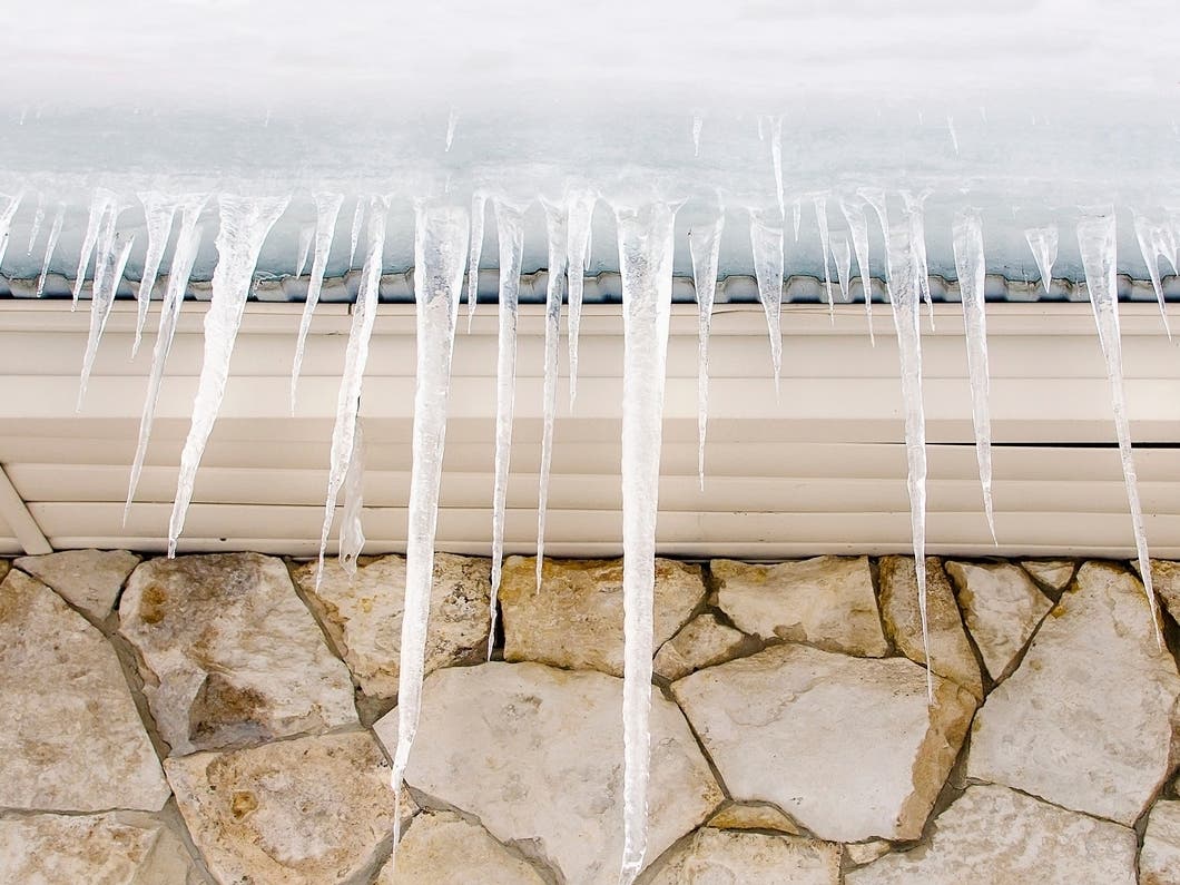
WISCONSIN — A blast of dangerous Arctic air will settle over Wisconsin this weekend, with wind chills dropping as low as 20 to 30 below zero from Friday night through Sunday night, according to the National Weather Service in Milwaukee.
Light snow is possible Friday afternoon and evening, but forecasters say the real concern is the cold that follows.
Wind chills will fall sharply late Friday night, and most of southern and eastern Wisconsin will spend all of Saturday and early Sunday below zero, with some areas staying below zero for more than 36 hours.
Find out what's happening in Milwaukeefor free with the latest updates from Patch.

Milwaukee is expected to see wind chills bottom out near 20 to 25 below. Farther inland, places like Madison, Beaver Dam, Fond du Lac, and the Wisconsin Dells may reach 25 to 30 below at times. The coldest window appears to be early Saturday through early Sunday.
The NWS warns that wind chills of this magnitude can cause frostbite on exposed skin in as little as 20 to 30 minutes. Forecasters urge residents to cover exposed skin, dress in layers, limit time outdoors, and bring pets inside. The cold also raises the risk of frozen pipes, especially overnight.
Find out what's happening in Milwaukeefor free with the latest updates from Patch.
Temperatures will begin to recover by Monday, with highs returning to the 20s and 30s next week.
Here's the full NWS forecast from the Milwaukee Airport:
Friday: A 30 percent chance of snow, mainly between 11am and 5pm. Mostly cloudy, with a high near 25. Light northwest wind becoming west 5 to 10 mph in the morning.
Friday Night: A 20 percent chance of snow before midnight. Mostly cloudy, with a low around -1. Wind chill values between -10 and -20. West wind 10 to 15 mph, with gusts as high as 25 mph.
Saturday: A 20 percent chance of snow after noon. Mostly cloudy and cold, with a high near 6. Wind chill values between -15 and -20. West wind around 15 mph.
Saturday Night: A 20 percent chance of snow after midnight. Partly cloudy, with a low around -4. Northwest wind around 15 mph.
Sunday: Sunny, with a high near 11. Northwest wind 10 to 15 mph.
Sunday Night: Mostly cloudy, with a low around 0. Southwest wind 5 to 10 mph.
Monday: Partly sunny, with a high near 21. Southwest wind 10 to 15 mph, with gusts as high as 25 mph.
Monday Night: Mostly cloudy, with a low around 12.
Tuesday: Partly sunny, with a high near 36.
Tuesday Night: Mostly cloudy, with a low around 28.
Wednesday: Mostly cloudy, with a high near 41.
Wednesday Night: A 40 percent chance of rain. Mostly cloudy, with a low around 30.
Thursday: A slight chance of rain and snow. Partly sunny, with a high near 39. Chance of precipitation is 20%.
Get more local news delivered straight to your inbox. Sign up for free Patch newsletters and alerts.