Weather
Here's When Show Is Expected In Wisconsin Friday
Snow showers are forecast in Wisconsin Friday. Here's what forecasters are saying as a hazardous weather outlook is in effect.


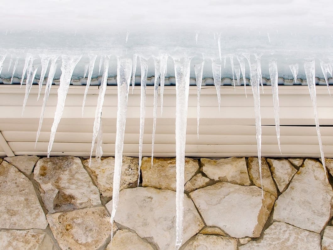
WISCONSIN — Snow could start falling early to mid Friday afternoon in the Milwaukee area with about half an inch accumulating during the day, according to the latest forecast from the National Weather Service.
The NWS has issued a hazardous weather outlook for parts of east central, south central and southeast Wisconsin, including Milwaukee, Waukesha, Kenosha and Racine counties. The snow showers Friday could result in brief periods of heavy snow with rapid changes to visibility and slick spots on the road, the NWS warns.
More snow, possibly between 1-3 inches, is expected Saturday night into Sunday, according to the NWS.
Find out what's happening in Milwaukeefor free with the latest updates from Patch.
In its forecast discussion, the NWS says the bulk of snow showers will wind down by early Friday evening.
Temperatures are expected to be in the 30s with winds keeping the air chilly.
Find out what's happening in Milwaukeefor free with the latest updates from Patch.
Here's the full forecast from the NWS for Friday into Sunday night:
Today: Snow showers, mainly after noon. High near 40. Southwest wind 10 to 15 mph, with gusts as high as 25 mph. Chance of precipitation is 80%. Total daytime snow accumulation of less than a half inch possible.
Tonight: A 40 percent chance of snow showers, mainly before 9pm. Mostly cloudy, with a low around 33. Northwest wind 10 to 15 mph, with gusts as high as 25 mph.
Saturday: Partly sunny, with a high near 40. Northwest wind 10 to 15 mph, with gusts as high as 25 mph.
Saturday Night: Snow likely, mainly after midnight. Mostly cloudy, with a low around 31. West wind around 10 mph. Chance of precipitation is 70%. New snow accumulation of less than one inch possible.
Sunday: Snow before 11am, then rain and snow between 11am and 5pm, then a chance of snow after 5pm. High near 39. Breezy, with a northwest wind 10 to 20 mph, with gusts as high as 30 mph. Chance of precipitation is 80%. New snow accumulation of 1 to 2 inches possible.
Sunday Night: A 20 percent chance of snow before midnight. Partly cloudy, with a low around 25. Northwest wind 10 to 15 mph, with gusts as high as 30 mph.
Get more local news delivered straight to your inbox. Sign up for free Patch newsletters and alerts.