Weather
Flash Freeze Threatens Evening Commute Across Southern Wisconsin
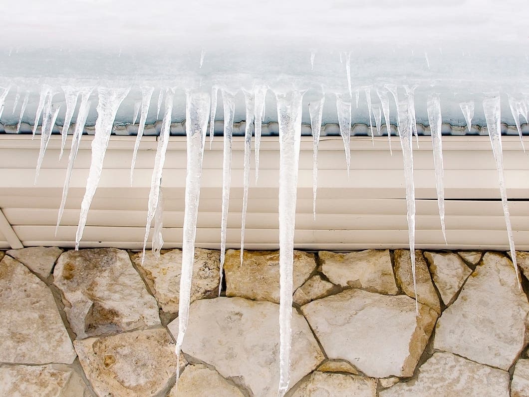
A flash freeze could make roads slick across much of southern and eastern Wisconsin during the Thursday evening commute.


MILWAUKEE, WI — A flash freeze could make roads slick across much of southern and eastern Wisconsin during the Thursday evening commute, according to the National Weather Service.
Forecasters say scattered snow showers are expected to develop late Thursday afternoon into the evening as much colder air moves into the region. While snowfall amounts are expected to remain light, rapidly falling temperatures could cause wet pavement to freeze quickly, leading to icy conditions on untreated roads.
The NWS issued Hazardous Weather Outlook covering east central, south central, and southeast Wisconsin, including Madison, Milwaukee, Racine, Kenosha, and surrounding communities. Officials warn that even brief snow showers combined with falling temperatures could create hazardous travel conditions during the evening commute.
Find out what's happening in Milwaukeefor free with the latest updates from Patch.
Drivers are urged to slow down, allow extra stopping distance, and be alert for sudden slick spots, especially on bridges, overpasses, and less-traveled roads.
No additional hazardous weather is expected from Friday through midweek.
Find out what's happening in Milwaukeefor free with the latest updates from Patch.
Here's the full NWS forecast from the Milwaukee Airport:
Today: Showers, mainly before 3pm. Areas of fog before 4pm. Temperature falling to around 37 by 5pm. South wind around 15 mph becoming west in the afternoon. Winds could gust as high as 30 mph. Chance of precipitation is 100%. New precipitation amounts between a tenth and quarter of an inch possible.
Tonight: A 50 percent chance of snow showers, mainly between 11pm and 5am. Mostly cloudy, with a low around 12. Wind chill values between zero and 10. Windy, with a west wind 15 to 25 mph, with gusts as high as 40 mph.
Friday: Mostly sunny, with a high near 20. Wind chill values between -5 and 5. Breezy, with a west wind 15 to 20 mph decreasing to 5 to 10 mph in the afternoon. Winds could gust as high as 35 mph.
Friday Night: Mostly cloudy, with a temperature falling to near 19 by 9pm, then rising to around 29 during the remainder of the night. South wind 5 to 10 mph.
Saturday: A 20 percent chance of snow showers. Mostly cloudy, with a high near 37. South wind 10 to 15 mph becoming west in the afternoon.
Saturday Night: Mostly clear, with a low around 10. West wind 10 to 15 mph.
Sunday: Sunny, with a high near 21. Northwest wind 5 to 10 mph.
Sunday Night: Increasing clouds, with a steady temperature around 19. West wind around 5 mph becoming south after midnight.
Monday: A slight chance of rain and snow after noon. Mostly cloudy, with a high near 37. Chance of precipitation is 20%.
Monday Night: Mostly cloudy, with a low around 31.
Tuesday: Partly sunny, with a high near 39.
Tuesday Night: Mostly cloudy, with a low around 29.
Wednesday: Mostly cloudy, with a high near 38.
Get more local news delivered straight to your inbox. Sign up for free Patch newsletters and alerts.