Weather
Up To 11 Inches Of Snow Expected Across Southern Wisconsin
Heavy snow will arrive early Saturday and peak from late morning into the evening, with travel likely becoming dangerous, forecasters say.


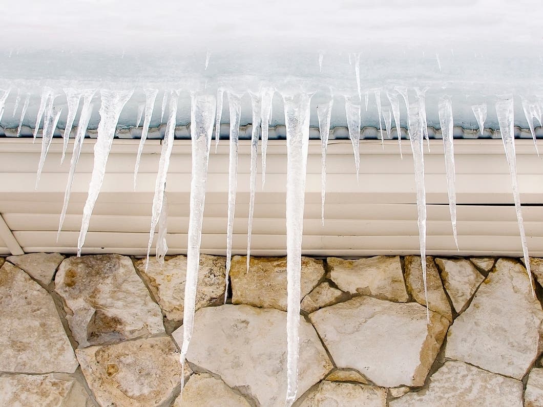
WISCONSIN — A significant winter storm is expected to bring widespread heavy snow and hazardous travel across southern Wisconsin from Saturday morning through early Sunday, according to the National Weather Service in Milwaukee.
A Winter Storm Warning is now in effect for all of southern Wisconsin, with forecasters calling for 6 to 11 inches of snow for most locations. Areas along the Lake Michigan shoreline could see locally higher totals due to lake enhancement.

Snow will begin spreading in from the west between 12 a.m. and 5 a.m. Saturday, with snowfall rates increasing quickly through the morning. The worst travel conditions are expected from late Saturday morning through Saturday evening, when snowfall rates may reach 0.5 to 1 inch per hour, the NWS said.
Find out what's happening in Milwaukeefor free with the latest updates from Patch.
What To Expect
- 6 to 11 inches of snow for most of southern and eastern Wisconsin
- Locally higher totals possible near Milwaukee, Racine, and Kenosha because of lake enhancement
- Snow becomes widespread by early Saturday morning
- Greatest impact window: 10 a.m. to 9 p.m. Saturday
- Travel may become very difficult during the afternoon and evening
Forecasters warn that roads, bridges, and overpasses will quickly become snow-covered and slick during the day Saturday. Reduced visibility and steady accumulation will continue into Saturday night before snow tapers off early Sunday morning.
Winter Storm Warning Details
The warning includes the counties of Fond du Lac, Sheboygan, Dodge, Washington, Ozaukee, Waukesha, and Milwaukee, among many others across the region.
Find out what's happening in Milwaukeefor free with the latest updates from Patch.
When: 6 a.m. Saturday to 6 a.m. Sunday
Snow totals: 6 to 10 inches in east-central and southeast Wisconsin
Impacts: Hazardous travel, reduced visibility, and difficult driving conditions
Travel Impacts
The National Weather Service urges residents to avoid travel if possible during the day Saturday, especially from midday through evening when snowfall is heaviest.
“If you must travel, keep an extra flashlight, food, and water in your vehicle in case of an emergency,” officials said.
Road conditions can be checked via 511 Wisconsin.
Snow is expected to taper off by Sunday morning, though blowing snow may still cause visibility issues early in the day.
Here's the full NWS forecast from the Milwaukee Airport:
This Afternoon: Mostly sunny, with a high near 30. West wind 10 to 15 mph.
Tonight: A 40 percent chance of snow after 4am. Increasing clouds, with a low around 24. West wind around 5 mph becoming calm in the evening.
Saturday: Snow, mainly after 7am. The snow could be heavy at times. High near 35. Southeast wind 5 to 10 mph increasing to 10 to 15 mph in the afternoon. Winds could gust as high as 30 mph. Chance of precipitation is 100%. New snow accumulation of 3 to 5 inches possible.
Saturday Night: Snow, possibly mixed with rain, becoming all snow after midnight. The snow could be heavy at times. Low around 28. Southeast wind 10 to 15 mph becoming north 5 to 10 mph. Winds could gust as high as 30 mph. Chance of precipitation is 100%. New snow accumulation of 3 to 5 inches possible.
Sunday: Snow likely, mainly before noon. Partly sunny, with a high near 31. Blustery, with a northwest wind 15 to 20 mph, with gusts as high as 30 mph. Chance of precipitation is 60%. New snow accumulation of less than a half inch possible.
Sunday Night: Partly cloudy, with a low around 8. Northwest wind 5 to 15 mph.
Monday: Mostly cloudy, with a high near 23. West wind 5 to 10 mph.
Monday Night: A 20 percent chance of snow. Mostly cloudy, with a low around 9. West wind around 5 mph.
Tuesday: Partly sunny, with a high near 25.
Tuesday Night: A 20 percent chance of snow after midnight. Mostly cloudy, with a low around 17.
Wednesday: A 30 percent chance of snow. Mostly cloudy, with a high near 30.
Wednesday Night: A 20 percent chance of snow. Mostly cloudy, with a low around 12.
Thursday: Mostly sunny, with a high near 23.
Get more local news delivered straight to your inbox. Sign up for free Patch newsletters and alerts.