Weather
Snowfall Totals In: Up To 14 Inches Fell As Winter Storm Slammed Southern Wisconsin
Areas south of I-94 and along the Kettle Moraine saw the most intense snowfall, boosted by lake enhancement and the storm's track.


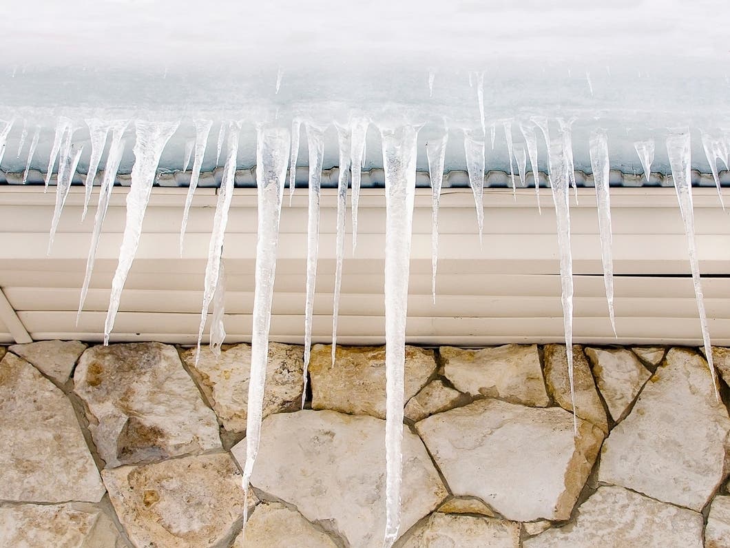
WISCONSIN — A long-duration winter storm delivered heavy snowfall across southern Wisconsin this weekend, with many communities reporting 10 to 13 inches and isolated amounts up to 14 inches, according to the National Weather Service.
Areas south of I-94 and along the Kettle Moraine saw the most intense snowfall, boosted by lake enhancement and the storm’s track.
Reported Snowfall Totals in Wisconsin
- New Berlin — 12.7 inches
- Sun Prairie — 12 inches
- Dane County Regional Airport — 11.7 inches
- Mukwonago — 11.6 inches
- Monticello — 11.5 inches
- Cedarburg — 11.5 inches
- Jackson — 11.1 inches
- West Allis — 11.1 inches
- Milwaukee — 11 inches
- Sturtevant — 11 inches
- Oconomowoc — 10.9 inches
- Grafton — 10.8 inches
- Random Lake — 10.8 inches
- Windsor — 10.5 inches
- Middleton — 10.5 inches
- West Bend — 10.5 inches
- Newburg — 10.5 inches
- Blue Mounds — 10 inches
- Wales — 10 inches
- Janesville — 10 inches
Widespread totals between 8 and 10 inches were reported across Dodge, Jefferson, Waukesha, Milwaukee, Ozaukee, Sheboygan, Columbia, Sauk, Fond du Lac, and La Crosse counties, including Baraboo, Arena, Reedsburg, Plymouth, Oshkosh, Cudahy, Whitefish Bay, and Jefferson.
Find out what's happening in Milwaukeefor free with the latest updates from Patch.
Slightly lower 5 to 6 inch totals were reported right along Lake Michigan, where warmer air off the lake kept amounts down. The heaviest snow developed farther inland, where lake enhancement and the storm’s main deformation band overlapped.
Find out what's happening in Milwaukeefor free with the latest updates from Patch.
What’s Next: More Snow Chances And Bitter Cold
After the weekend storm, temperatures will turn sharply colder across Wisconsin, with new light snow chances midweek.
Looking ahead, here's the NWS forecast for Milwaukee:
Today: Snow, mainly after 4pm. High near 30. Southwest wind around 5 mph. Chance of precipitation is 80%. Total daytime snow accumulation of less than a half inch possible.
Tonight: Snow, mainly before 9pm. Low around 13. Southwest wind 5 to 10 mph becoming northwest after midnight. Chance of precipitation is 80%. New snow accumulation of less than one inch possible.
Tuesday: Mostly sunny, with a high near 26. Northwest wind 5 to 10 mph becoming southwest in the afternoon.
Tuesday Night: A 20 percent chance of snow after midnight. Mostly cloudy, with a low around 17. Southwest wind around 10 mph.
Wednesday: Snow likely, mainly after noon. Cloudy, with a high near 33. Southwest wind 10 to 15 mph becoming northwest in the afternoon. Chance of precipitation is 60%. New snow accumulation of less than a half inch possible.
Wednesday Night: A 20 percent chance of snow before midnight. Mostly cloudy, then gradually becoming mostly clear, with a low around 4. Northwest wind around 10 mph.
Thursday: Sunny, with a high near 16. Northwest wind around 10 mph.
Thursday Night: Partly cloudy, with a low around 3. Southwest wind 5 to 10 mph.
Friday: A 20 percent chance of snow after noon. Partly sunny, with a high near 24.
Friday Night: A 30 percent chance of snow before midnight. Mostly cloudy, with a low around 16.
Saturday: A 20 percent chance of snow. Mostly cloudy, with a high near 30.
Saturday Night: A 30 percent chance of snow. Mostly cloudy, with a low around 18.
Sunday: A 20 percent chance of snow. Mostly cloudy, with a high near 28.
Get more local news delivered straight to your inbox. Sign up for free Patch newsletters and alerts.