Weather
Wintry Mix Could Bring Snow, Rain, And Icy Roads To Wisconsin Tuesday
The National Weather Service said small changes in the storm track could significantly affect snowfall amounts across southern and eastern W


MILWAUKEE, WI — A round of light snow will move across southern Wisconsin tonight, followed by a more complicated winter storm Tuesday into Wednesday that could bring a mix of rain, snow, and minor icing. Forecasters say the exact placement of the rain–snow line remains highly uncertain, and even a small shift in the track could significantly change who ends up shoveling.
Light, fluffy snow tonight will bring minor accumulations, with most areas south and west of the I-94 and I-39 corridors seeing less than an inch. East-central Wisconsin, including Fond du Lac, Sheboygan, West Bend, Beaver Dam, and Montello, has the highest chance of reaching around an inch.
The main system arrives Tuesday afternoon and continues into Wednesday. A wintry mix is expected across southern Wisconsin, with a transition zone of rain, snow, and brief icing setting up somewhere between Madison and the Fox Valley. Forecasters say that subtle north–south shifts in the system could dramatically alter snowfall totals.
Find out what's happening in Milwaukeefor free with the latest updates from Patch.
Northern portions of the region, including Fond du Lac, Sheboygan, Waupun, Berlin, Montello, West Bend, and Beaver Dam, have the highest likelihood of accumulating snow. These areas carry a 50 to 60 percent chance of receiving at least 2 inches, with some potential for 4 inches or more if the rain–snow line sinks slightly south.
Farther south, including Milwaukee, Waukesha, Racine, Kenosha, Janesville, and Madison, current projections show totals closer to a dusting to 2 inches, but these numbers could rise if the system trends colder.
Find out what's happening in Milwaukeefor free with the latest updates from Patch.
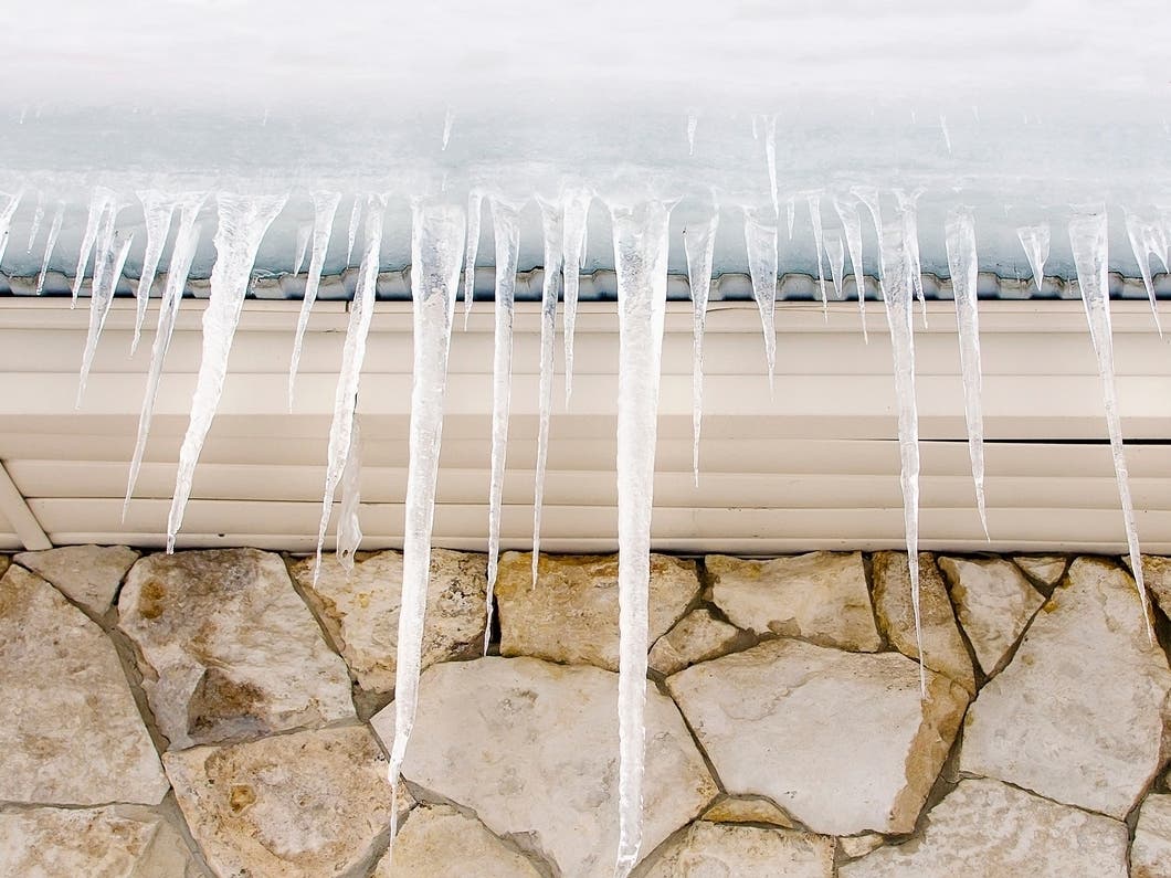
Forecasters also note that rain falling on cold pavement may lead to slick spots Tuesday evening and Wednesday morning, especially within the transition zone.
The National Weather Service urges Wisconsin residents to monitor updated forecasts and prepare for changing conditions during the Tuesday evening and Wednesday morning commutes.
Here's the full NWS forecast from the Milwaukee Airport:
Today: A chance of flurries before 10am. Mostly cloudy, with a high near 27. South wind 5 to 10 mph.
Tonight: Snow likely, mainly before 2am. Cloudy, with a low around 19. South wind 10 to 15 mph, with gusts as high as 30 mph. Chance of precipitation is 60%. New snow accumulation of less than a half inch possible.
Tuesday: A chance of rain and snow after 3pm. Cloudy, with a high near 36. West wind 10 to 15 mph. Chance of precipitation is 30%.
Tuesday Night: Rain and snow before midnight, then rain between midnight and 3am, then rain, possibly mixed with snow after 3am. Low around 31. Southwest wind 10 to 15 mph becoming northwest after midnight. Winds could gust as high as 25 mph. Chance of precipitation is 100%. New snow accumulation of less than a half inch possible.
Wednesday: Rain and snow likely, becoming all snow after 9am. Mostly cloudy, with a temperature falling to around 27 by 5pm. Breezy, with a northwest wind 15 to 20 mph, with gusts as high as 30 mph. Chance of precipitation is 60%. New snow accumulation of less than a half inch possible.
Wednesday Night: A 20 percent chance of snow. Mostly cloudy, with a low around 10. Northwest wind 5 to 15 mph.
Thursday: A 20 percent chance of snow after noon. Partly sunny, with a high near 21. West wind 5 to 10 mph.
Thursday Night: A 30 percent chance of snow. Mostly cloudy, with a low around 9. West wind around 10 mph.
Friday: A 50 percent chance of snow. Mostly cloudy, with a high near 18.
Friday Night: A 30 percent chance of snow, mainly before midnight. Partly cloudy, with a low around -1.
Saturday: Mostly sunny and cold, with a high near 10.
Saturday Night: A 20 percent chance of snow. Mostly cloudy, with a low around 0.
Sunday: Partly sunny, with a high near 18.
Get more local news delivered straight to your inbox. Sign up for free Patch newsletters and alerts.