Weather
Wisconsin Faces Minus 20 Wind Chills Overnight As Arctic Cold Moves In
Forecasters say the coldest wind chills will hit overnight as skies clear and temperatures plunge.

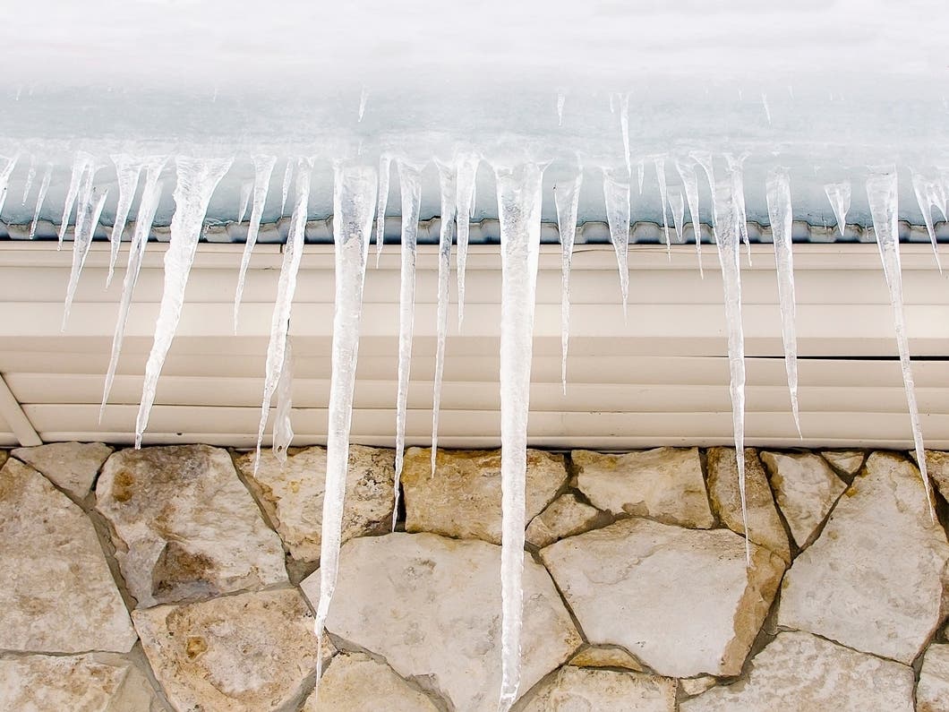
WISCONSIN — Bitter cold will grip much of Wisconsin Wednesday night into Thursday morning, with wind chills dropping to between minus 15 and minus 20 across the region, according to the National Weather Service.
Scattered flurries will taper off this evening before skies gradually clear. Temperatures will fall quickly after sunset, with lows ranging from about −8 in the colder inland spots to around 2 degrees near Lake Michigan.
Northwest winds of 10 to 15 mph, with gusts up to 25 mph, will drive wind chills well below zero overnight.
Find out what's happening in Milwaukeefor free with the latest updates from Patch.
The worst wind chills are expected between 2 a.m. and 9 a.m. Thursday, the NWS said.
Thursday: Still Bitter, but Sunny
Sun returns Thursday, but the cold stays stubborn. Highs will only reach 10 to 16 degrees, and morning wind chills will remain in the minus 10 to minus 20 range before slowly improving. Winds become southwest in the afternoon.
Find out what's happening in Milwaukeefor free with the latest updates from Patch.
Thursday night stays cold, with lows around 7 degrees and wind chills near zero.
Friday: Slight Snow Chance Returns
A weak system moves in Friday with a 20 percent chance of snow in the afternoon and a 40 percent chance Friday night. Any accumulation should be a dusting or trace at most, consistent with the NWS Milwaukee outlook.
Highs will climb into the mid-20s, offering a brief break from the arctic air.
Weekend: More Clouds, Snow Chances
Saturday turns partly sunny with highs near 28 degrees and another slight chance for a dusting of snow overnight.
Additional small systems ripple through Sunday and Monday, each carrying 20 to 30 percent snow chances. The best chance for accumulating snow arrives Monday night, when the NWS assigns a 60 percent probability as another disturbance approaches.
Highs through the weekend and early next week remain locked in the low- to mid-20s, with nighttime lows in the teens.
Here's the full NWS forecast from the Milwaukee Airport:
Tonight: Scattered flurries before 11pm. Cloudy during the early evening, then gradual clearing, with a low around 1. Wind chill values between -10 and zero. Northwest wind 10 to 15 mph.
Thursday: Sunny, with a high near 16. Wind chill values between -5 and -15. Northwest wind 5 to 10 mph becoming southwest in the afternoon.
Thursday Night: Partly cloudy, with a low around 5. Wind chill values between -10 and zero. Southwest wind 5 to 10 mph.
Friday: A 20 percent chance of snow after noon. Partly sunny, with a high near 26. Southwest wind 10 to 15 mph.
Friday Night: A 40 percent chance of snow, mainly before midnight. Mostly cloudy, with a low around 20. Southwest wind 5 to 10 mph.
Saturday: Partly sunny, with a high near 28. Northwest wind 5 to 10 mph.
Saturday Night: A 30 percent chance of snow, mainly after midnight. Mostly cloudy, with a low around 14. North wind 5 to 10 mph.
Sunday: A 20 percent chance of snow before noon. Partly sunny, with a high near 23.
Sunday Night: A 20 percent chance of snow. Mostly cloudy, with a low around 8.
Monday: A 20 percent chance of snow. Partly sunny, with a high near 24.
Monday Night: Snow likely. Mostly cloudy, with a low around 15. Chance of precipitation is 60%.
Tuesday: A 30 percent chance of snow. Mostly cloudy, with a high near 33.
Tuesday Night: A 50 percent chance of snow. Mostly cloudy, with a low around 23.
Wednesday: A chance of rain and snow. Mostly cloudy, with a high near 36. Chance of precipitation is 50%.
Get more local news delivered straight to your inbox. Sign up for free Patch newsletters and alerts.